
Construction
The Role of GIS in Modern Construction: From Mapping to Smart Decision-Making
December 12, 2025 • 126 Views • 21 min read


Bohdan Vasylkiv
CEO & Co-Founder
Geographic Information Systems, or simply GIS, in construction is becoming a deal-breaker, helping align plans, execution, and management.
By combining spatial data with advanced analytics, GIS in construction enables workers to make informed decisions faster and reduce costly errors before they occur.
The technology shifts construction from reactive problem-solving to proactive, intelligence-driven management.
It helps to integrate location-based data with real-time monitoring to deliver unprecedented project visibility.
But what is what is GIS in construction, and how can your business benefit from this solution? Let’s dive in.
Key Takeaways
- GIS in construction turns location data into practical insights for planning, execution, and operations.
- GIS in construction management improves visibility, coordination, and decision speed across all project stages.
- Site selection becomes more accurate by layering terrain, zoning, utilities, and environmental constraints.
- Real-time GIS dashboards help track progress, detect delays, and manage risks proactively.
- GIS supports environmental compliance by mapping sensitive areas and linking them to on-site activities.
- Integration of GIS with BIM and digital twins enables richer simulations and better asset lifecycle management.
- AI and machine learning make GIS predictive, helping forecast delays, safety issues, and resource needs.
- Successful GIS adoption requires solid data governance, integration with existing systems, and trained teams.
- Well-implemented GIS reduces rework, change orders, and operational costs while improving safety and quality.
- Partnering with experts like Incora helps businesses design GIS solutions that fit their workflows and deliver clear business value.
Understanding GIS Project Management
What is GIS in construction?
At its core, GIS is a digital system that captures, stores, analyzes, and visualizes geographic and spatial data.

Unlike traditional mapping tools, this software integrates multiple data layers into a unified platform that construction professionals can query, analyze, and share.
The system combines hardware, software, and skilled personnel to transform raw geographic information into actionable intelligence.
In the construction context, GIS functions as a decision-support engine. It enables professionals to understand the spatial relationships among project elements and to visualize how the construction will interact with the surrounding environment.
By layering different types of geospatial data, construction teams can run sophisticated analyses that would be impossible with traditional spreadsheets or static maps.
This capability is particularly valuable in large, complex projects where coordination across multiple teams, suppliers, and regulatory agencies is critical to success.
Such IT solutions for construction have evolved beyond simple mapping.
Modern GIS platforms integrate with Building Information Modeling (BIM), drone data, IoT sensors, and AI to create virtual representations of construction projects that mirror real-world conditions in real time.
Site Selection and Strategic Planning with GIS
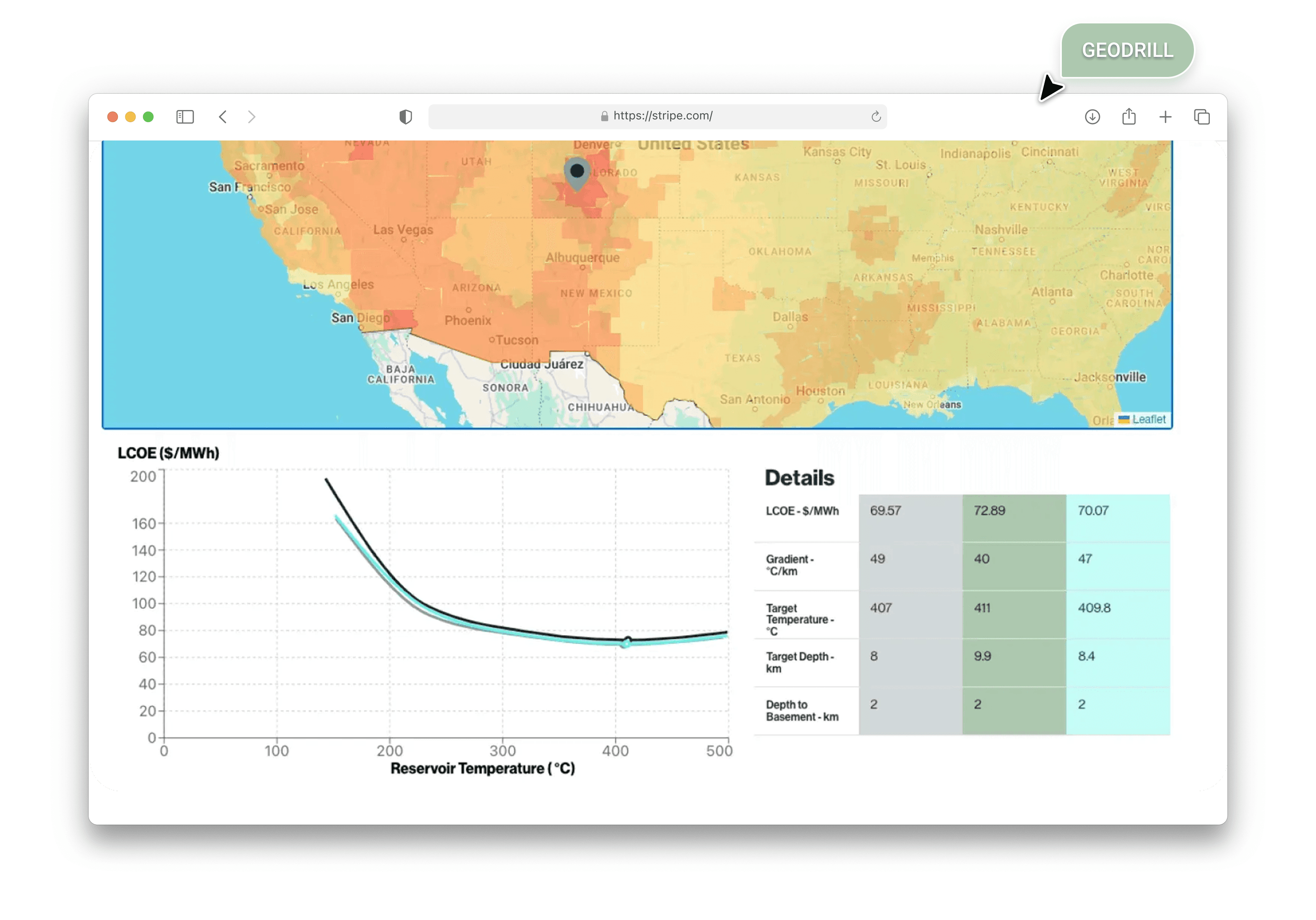
One of the most critical phases of any construction project is site selection and feasibility analysis.

GIS in construction management revolutionizes this process by enabling rapid, data-driven evaluation of potential locations based on multiple criteria simultaneously.
Rather than relying on intuition or incomplete information, project teams can now overlay zoning maps, environmental constraints, proximity to infrastructure, soil conditions, flood risk zones, and accessibility data to identify optimal sites.
GIS Features and Use Cases
When selecting a location for a major infrastructure project, such as a hospital, industrial facility, or residential complex, GIS enables planners to assess hundreds of variables automatically.
For projects in environmentally sensitive areas, GIS can map protected zones, wetlands, and wildlife habitats to ensure designs avoid unnecessary environmental disruption.
Terrain analysis represents another critical application.
GIS transforms raw elevation data into actionable insights about slope stability, drainage patterns, and natural hazards.
Engineers can identify areas prone to erosion, flooding, or landslides before beginning excavation.
In mountainous regions, terrain analysis guides decisions about foundation design, retaining walls, and drainage systems.
In flood-prone areas, GIS models help engineers design appropriate mitigation strategies and determine optimal building elevations.
The technology also accelerates the evaluation of infrastructure and utility integration.
Construction sites must coordinate with existing water lines, power grids, sewer systems, and telecommunications networks.
GIS prevents costly strikes to buried utilities by mapping existing infrastructure relative to proposed designs.
For large projects, GIS can simulate how new installations will integrate with existing networks, identifying capacity bottlenecks and service gaps before construction begins.
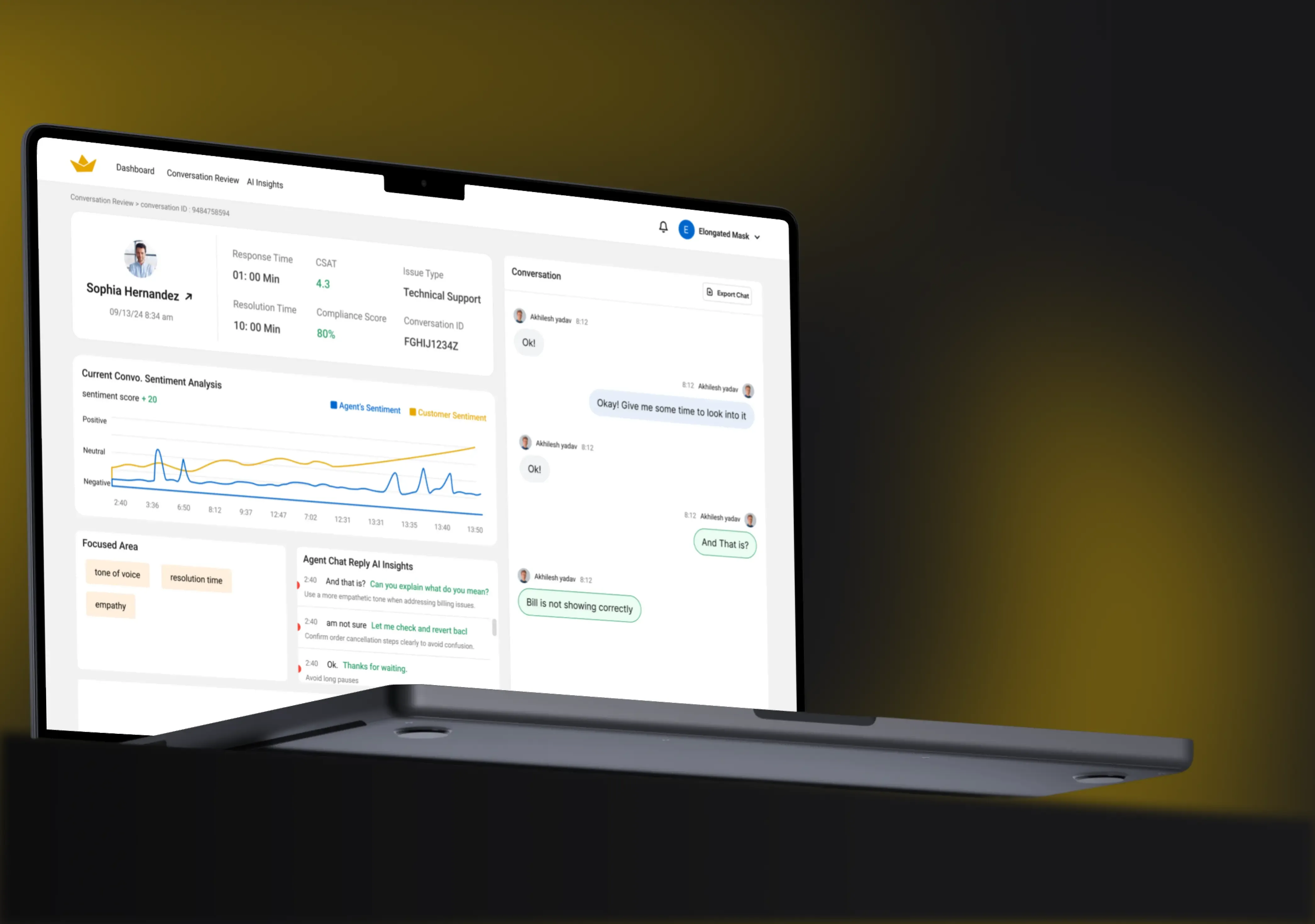
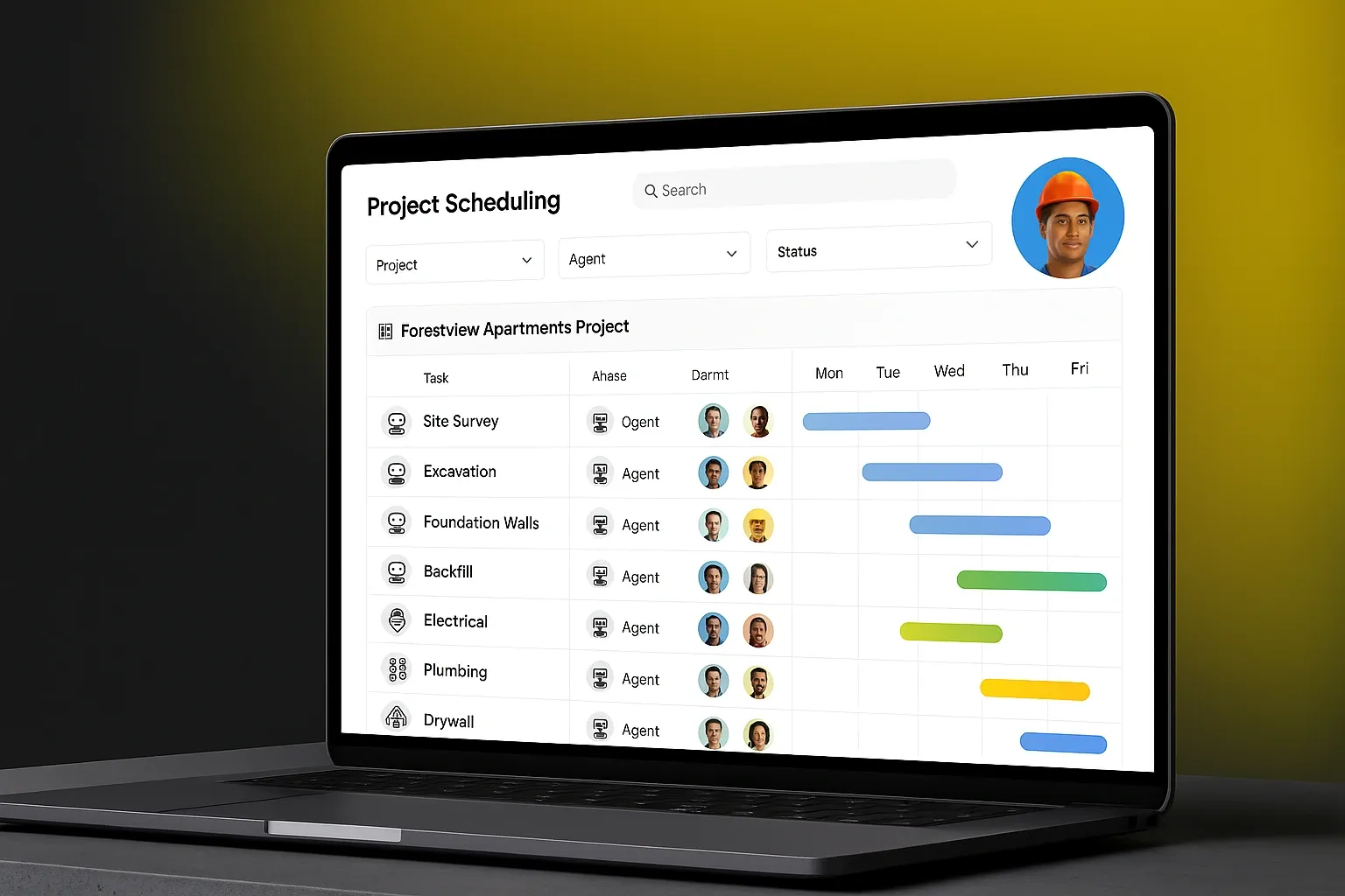
Real-Time Monitoring and Smart Decision-Making
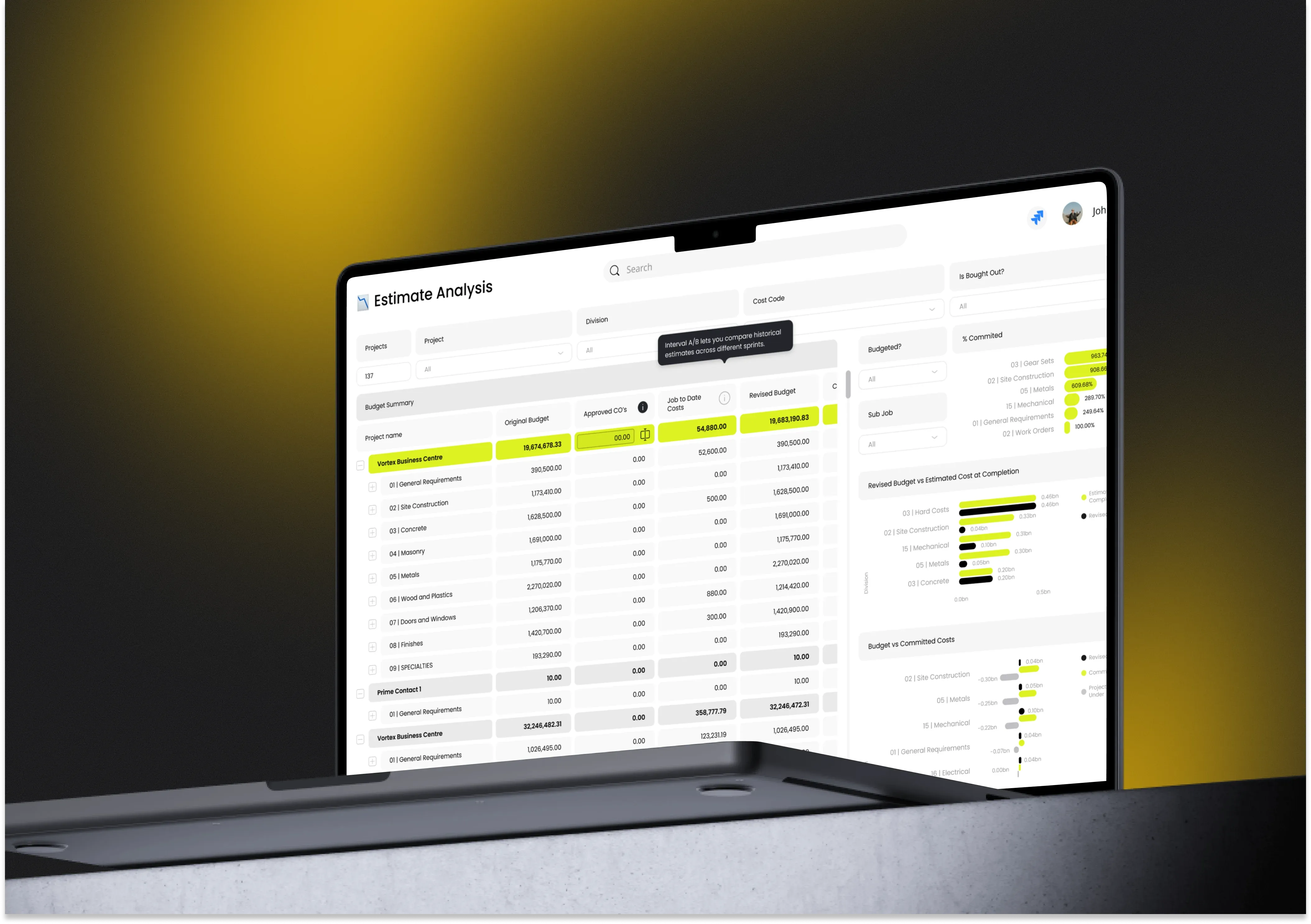
GIS project management extends far beyond planning into active construction execution and monitoring.

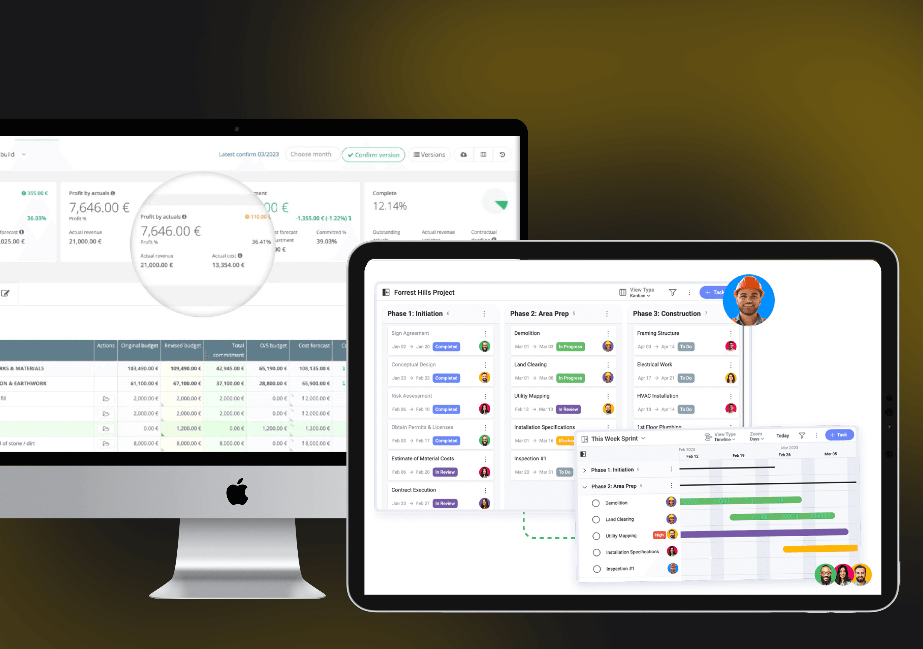
By integrating real-time data from multiple sources, modern GIS platforms create live dashboards that provide complete visibility into project progress.
This real-time monitoring capability transforms how project managers respond to challenges and opportunities during construction.
Real-time monitoring enables proactive risk management.
Instead of waiting for problems to escalate into crises, construction teams can identify and address issues while they are still manageable.
If equipment placement blocks an access route, supervisors can adjust the plan before productivity suffers.
This shift from reactive to proactive management consistently reduces project delays and cost overruns.
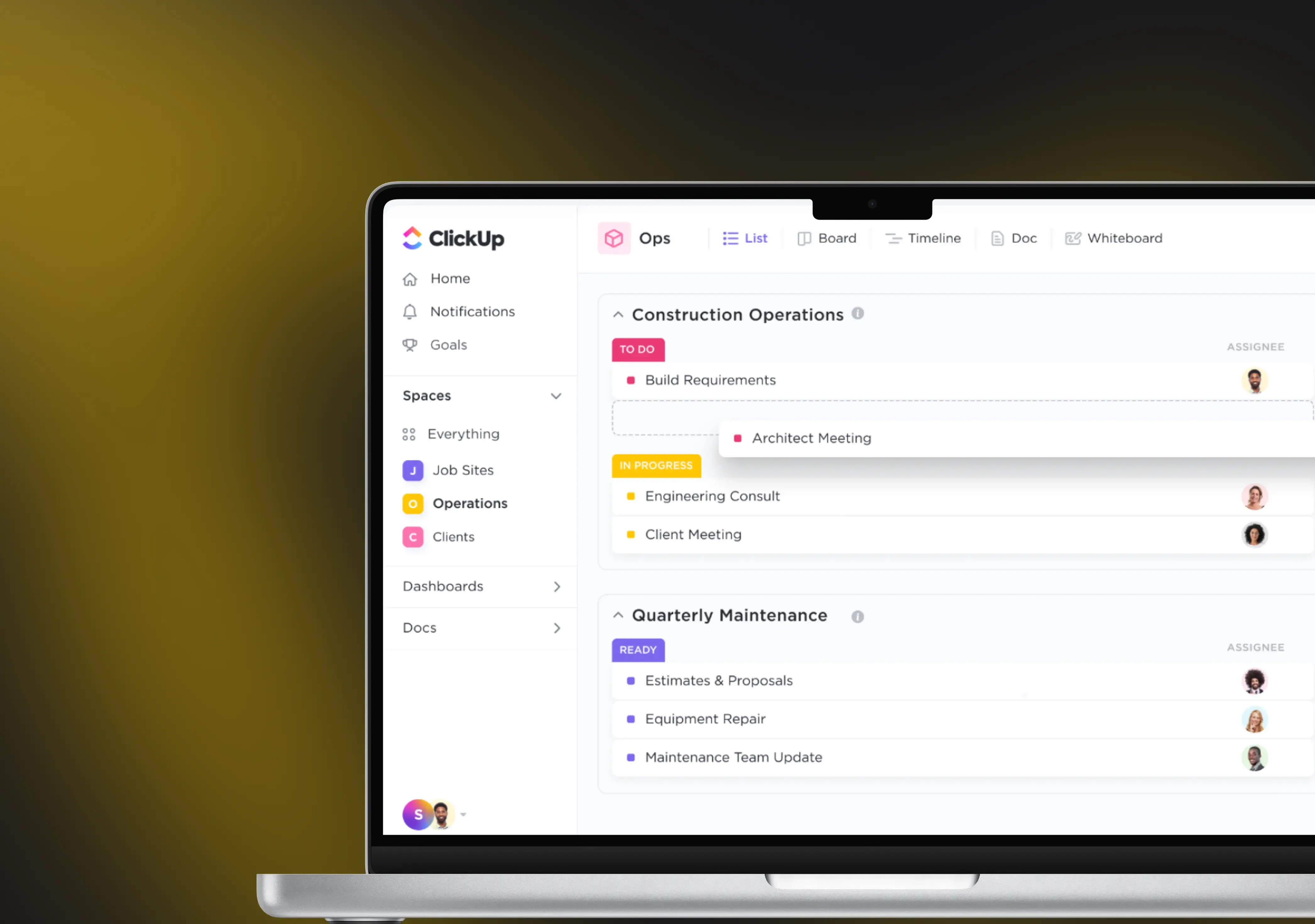
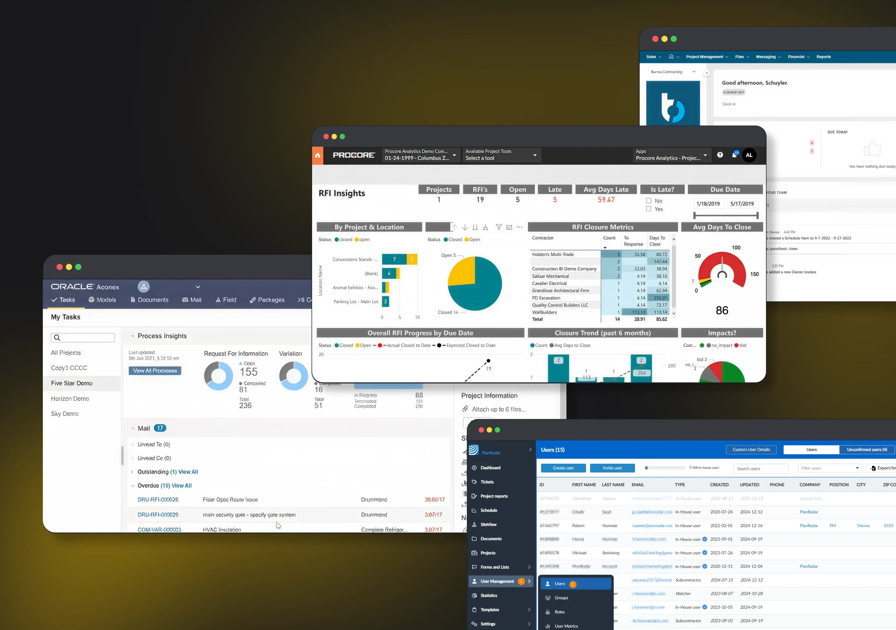
GIS dashboards centralize information that was previously scattered across email, spreadsheets, and paper reports.
Managers can perform multiple tasks in one place, including monitoring live activity, confirming crew positions, or marking hazards.
The context, provided by GIS solutions, transforms how teams respond to unexpected conditions.
Teams understand not only what changed but also how the change affects neighboring operations, resource allocation, and timeline assumptions.
Environmental Compliance and Risk Mitigation
Environmental regulations increasingly shape construction feasibility and costs.

GIS in construction management helps teams navigate this complexity by mapping regulatory boundaries, environmental constraints, and compliance requirements directly onto project plans.
Rather than treating ecological compliance as a separate administrative function, GIS integrates it into daily operations, helping field crews understand where restrictions apply before they begin work.
GIS environmental compliance systems organize requirements spatially.
Permit boundaries, buffer zones, sensitive habitat areas, and sampling points appear as layers on the map.
When field teams open their GIS maps before starting work, they see exactly which conditions apply at their specific location.
This built-in guidance reduces errors and ensures teams consistently meet regulatory requirements.
Many enforcement actions include mandatory remediation efforts, and GIS tracks these efforts with geo-tagged timestamps and locations.
Risk assessment becomes systematic and data-driven when supported by a Geographic Information System.
Construction managers can simulate scenarios, such as how the project will perform if a 100-year flood occurs during foundation work. Hence, being able to develop contingency plans before problems arise.
Compliance documentation becomes seamless when GIS integrates with field data collection systems.
Instead of collecting information in the field and documenting it, teams log mitigation steps, inspection results, and site activities directly into geo-tagged GIS records.
This creates an automatic audit trail that links compliance efforts to specific locations and timestamps.
During regulatory reviews, inspectors can verify that work was completed as planned, reducing disputes and strengthening confidence that environmental obligations were met.
All the above sounds great. Yet, every business is driven by revenue and money.
So, can GIS integration help to reduce costs and improve the company’s efficiency?
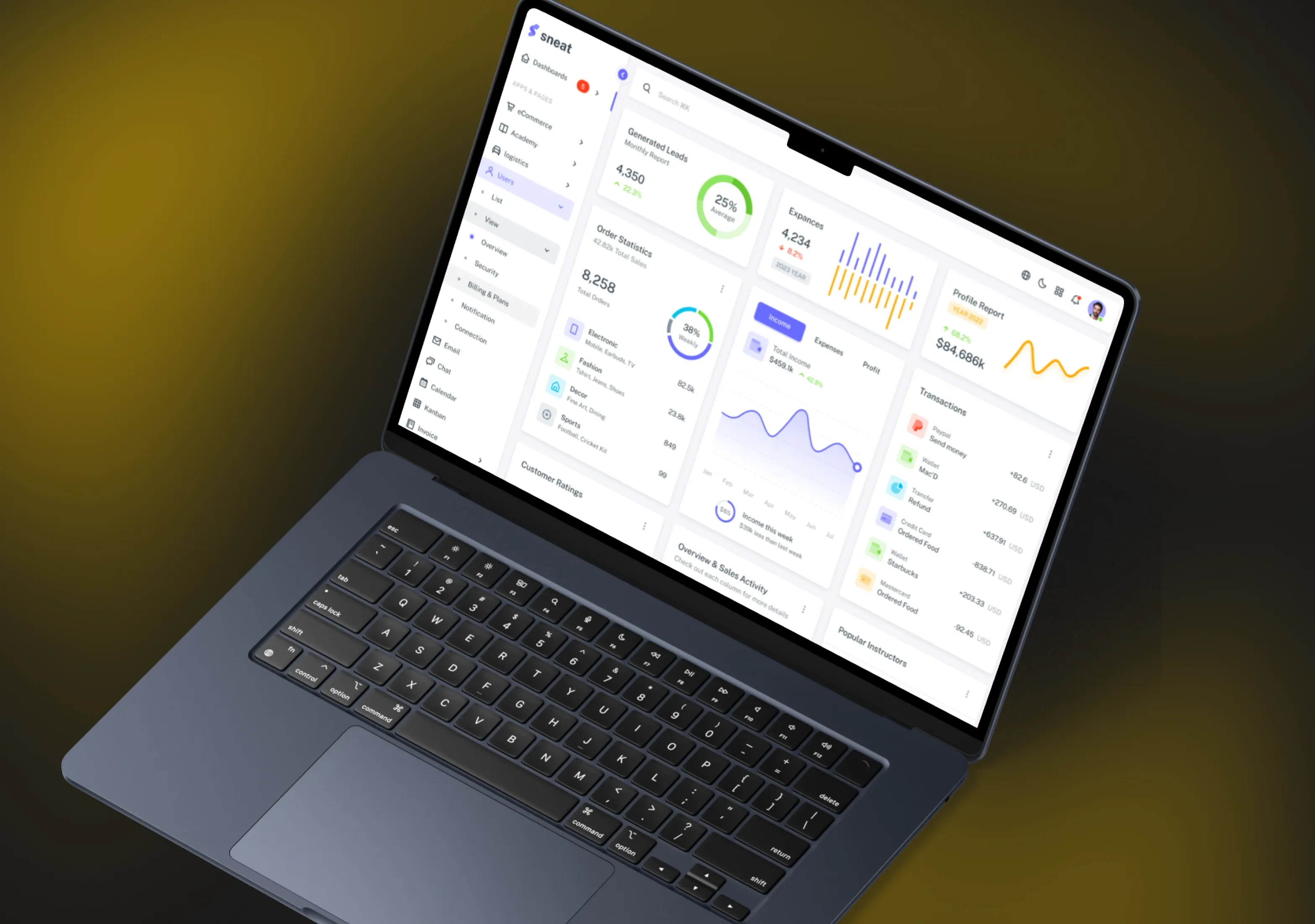
Cost Reduction and Efficiency Gains from GIS Implementation
These financial benefits arise across multiple dimensions of project execution.

By optimizing equipment deployment, reducing material waste, and minimizing rework, construction companies can significantly lower operational costs.
Material procurement and logistics represent significant project expenses, and GIS project management optimizes both through spatial analysis.
The system can determine the most efficient delivery routes, accounting for traffic patterns, road conditions, and access constraints.
For large projects requiring multiple suppliers across different regions, GIS routing algorithms reduce fuel costs and delivery times.
Inventory management becomes more efficient when GIS reveals equipment placement options that minimize movement between site zones.
Change orders and rework constitute another major cost category that GIS helps eliminate.
The more complete the GIS model of existing site conditions, the fewer surprises await field crews during construction.
This prevention-oriented approach generates outsized financial returns.
Real-time progress monitoring ensures resources move to bottleneck areas before delays cascade through the project schedule.
Safety incidents decrease when hazards are identified and communicated proactively through GIS visualizations rather than discovered through accidents.
For crane operations, GIS analysis determines the optimal positioning to cover the entire site while maintaining safety zones.
These seemingly minor optimizations compound into significant time and cost savings across project lifecycles.
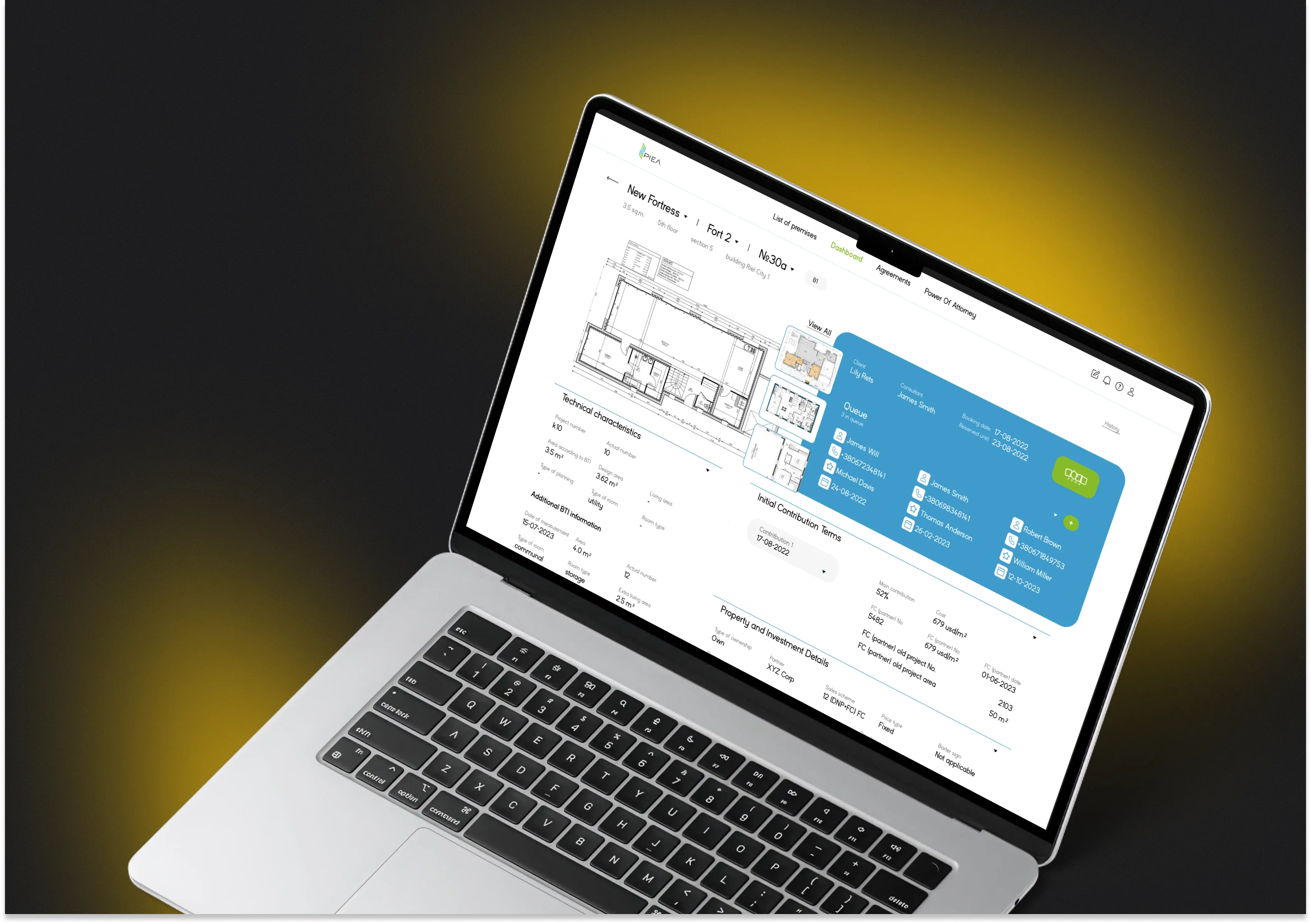
Integration of GIS with BIM and Other Solutions
To gain the maximum benefits from GIS systems, consider integrating them with other construction software.

Such solutions can become a core platform for centralized management operations, working as a single source of truth.
These tools will enhance your employees, providing them with more than just real-time construction site mapping.
The combination of Geographic Information Systems and Building Information Modeling creates powerful digital twins that combine geographic context with structural detail.
While BIM focuses on building design and components, GIS provides the geographic and environmental context in which projects exist.
When integrated, these technologies create comprehensive digital replicas that support planning, execution, and long-term asset management.
Digital twins powered by GIS and BIM enable virtual project delivery.
Before physical construction begins, teams can simulate the entire construction sequence, identify potential conflicts, optimize resource allocation, and validate timeline assumptions.
These simulations prove invaluable for complex projects where coordination challenges threaten project success.
Visualizing how different construction sequences affect site flow and resource efficiency enables optimization that would be impossible without digital representation.
Project managers can compare actual progress against the planned model, identify deviations early, and adjust schedules or resource allocation accordingly.
As-built documentation created in GIS serves as the foundation for future maintenance and upgrade decisions.
Implementation Challenges and Strategic Adoption Pathways
Despite significant benefits, organizations implementing GIS in construction face meaningful challenges that require thoughtful strategic approaches. The core challenges include:

- Cost represents a legitimate implementation barrier, particularly for smaller organizations.
GIS software licensing, hardware acquisition, data collection, and skilled personnel training all require substantial investment.
Thus, many organizations begin with specific high-value applications, such as site selection or progress monitoring, that generate quick returns, then expand to broader implementation.
- Data consistency and standardization challenges emerge across organizational and jurisdictional boundaries.
Different GIS systems use different standards, symbols, and data formats, making seamless data exchange difficult.
Organizations addressing this challenge develop data governance frameworks that establish consistent naming conventions, coordinate data collection procedures, and define standard representations.
- Skilled personnel shortages limit adoption rates in many regions.
Operating GIS systems effectively requires expertise in spatial analysis, data management, and interpretation.
Construction organizations overcome this barrier by investing in training, hiring specialists, and leveraging cloud-based platforms that reduce required expertise levels.
As GIS becomes more user-friendly through cloud platforms and automated analysis, adoption by non-specialist practitioners accelerates.

- Integration with existing systems presents technical challenges.
Legacy databases, CAD systems, and project management platforms must interface with new GIS platforms to create unified information environments.
Organizations addressing this challenge prioritize interoperability requirements during vendor selection and invest in data integration middleware.
- Data privacy and security concerns require careful attention, particularly when GIS includes sensitive project information or personal data.
Organizations develop appropriate access controls, encryption protocols, and data governance procedures to protect information while enabling necessary collaboration.
Why Develop GIS in Construction with Incora?
Despite its emergence as a specialized mapping tool, GIS in construction has become an influential solution, capable of changing the entire industry.
Modern GIS project management solutions work as centralized platforms for construction planning, site management, and real-time data analysis.

By combining geographic context with real-time monitoring and advanced analytics, GIS in construction enables businesses to reduce costs, improve safety, accelerate schedules, and enhance sustainability outcomes.
Organizations that embrace these emerging technologies position themselves for competitive advantage in an increasingly data-driven industry.
If you want GIS to deliver real impact, not just pretty maps, Incora can help you build solutions tailored to your workflows and business needs.
With the Incora team, you can:
- Build custom GIS in construction platforms integrated with BIM, ERP, drones, IoT, and project tools
- Launch GIS project management dashboards for real-time visibility into sites, risks, and resources
- Use GIS in construction management to reduce rework, prevent clashes, and improve planning
- Automate spatial reporting and compliance so teams spend more time executing, not preparing documents
Turn your projects into intelligent, map-driven operations.
Contact us to discuss your project vision and get a tailored implementation roadmap for your construction business.
What’s your impression after reading this?
Love it!
77
Valuable
33
Exciting
3
Unsatisfied
1
FAQ
Let us address your doubts and clarify key points from the article for better understanding.
What is GIS in construction and why does it matter for my business?
At Incora, we see GIS in construction as the backbone of location-aware decision-making. It combines maps, spatial data, and analytics to show where things are, how they relate, and what is happening on your projects in real time. For your business, this means fewer surprises on site, better planning, and more confident decisions backed by data rather than guesswork.
How does Incora approach GIS in construction management?
Incora treats GIS in construction management as a strategic layer, not just another tool. We start by understanding your project workflows, roles, and decision points, then design GIS solutions that plug into those processes. Our focus is on delivering map-based dashboards and workflows that your PMs, site engineers, and executives actually use day-to-day to manage time, cost, and risk.
What types of GIS solutions can Incora build for construction companies?
Incora builds full-cycle, custom GIS platforms tailored to your needs. This can include site selection and feasibility tools, progress and resource tracking dashboards, HSE and risk maps, environmental compliance layers, and post-construction asset maps. We also develop mobile-friendly tools for field teams, enabling on-site data capture, inspections, and issue reporting directly on the map.
How does Incora integrate GIS with BIM, ERP, and existing project tools?
Integration is one of our core strengths. Incora designs GIS architectures that connect with BIM models (e.g., Revit, Navisworks), enterprise systems like ERP and CRM, and project management tools you already rely on. Our engineers build APIs and data pipelines so that GIS becomes a central, visual layer on top of your existing ecosystem rather than a disconnected standalone system.
Can Incora help with GIS project management for multiple sites and regions?
Yes. Incora builds GIS project management solutions designed for portfolios, not just single sites. We create multi-project dashboards where you can view all active jobs on one map, filter by region, status, risk level, or client, and drill down into specific sites. This helps regional managers, operations leaders, and executives monitor performance and react faster at scale.
How does Incora use AI and analytics on top of GIS data?
Incora combines GIS with AI and advanced analytics to turn static maps into predictive tools. Depending on your data maturity, we can implement features like automated progress detection from drone imagery, risk scoring for locations, delay and cost overrun predictions, and optimized routing for logistics and equipment. The goal is to move you from “seeing what happened” to “knowing what will likely happen next”.
What does a typical GIS implementation project with Incora look like?
A typical engagement starts with discovery and assessment, where we map your processes, systems, and data sources. Then we define priority use cases and a phased roadmap. Next, we design the architecture, implement integrations, and build the first version of your GIS solution with real data. After that, we iterate based on feedback, train your teams, and support rollout and scaling across more projects and business units.
What level of GIS and technical expertise do we need internally to work with Incora?
You do not need a large internal GIS team to work with Incora. We adapt to your starting point. If you have no GIS experience, we guide you through concepts, standards, and best practices. If you already have GIS specialists, we collaborate with them on architecture, data models, and workflows. Our role is to bridge your domain knowledge in construction with the technical expertise needed to make GIS work in practice.
How does Incora ensure ROI and avoid “nice-to-have” GIS that nobody uses?
Incora anchors every GIS initiative to clear business outcomes—such as fewer change orders, reduced rework, faster approvals, or improved field productivity. We prioritize use cases that can show value quickly and design interfaces around the actual daily tasks of your teams. Adoption is a key success metric for us, so we invest in UX, training, and change management, not only in the technology itself.
Why should we choose Incora over generic GIS vendors or off-the-shelf tools?
Incora is a software development partner specialized in building solutions for construction and related industries, not a generic software reseller. That means we don’t force your business into a pre-defined product. Instead, we create GIS in construction solutions that reflect your project types, contract models, and ways of working. You get a flexible, extensible platform, built with modern technologies, that can evolve with your business rather than locking you into rigid templates.
you may also like

Construction
AI Compliance Agent for Construction: Automating HSE and Regulatory Compliance
Management Systems
Construction Project Management Software for Small Business: Complete Guide

Construction
AI Shift Scheduling for Construction: Is This the Future of HR and Payroll?
Construction
From 10 to 2 Hours: How Conversational AI Agents Transform Construction Report Generation
Construction
How AI Negotiation Agents Improve Construction Procurement [And Why Do You Need It]
Construction,
Real Estate
How Construction Workflow Management Software Helps to Reduce Costs and Boost Efficiency?
Construction
How Integrated BOQ Software Bridges the Gap Between Construction Departments
Construction
How to Build a Custom Software for Hard and Soft Construction Budget Control

Construction
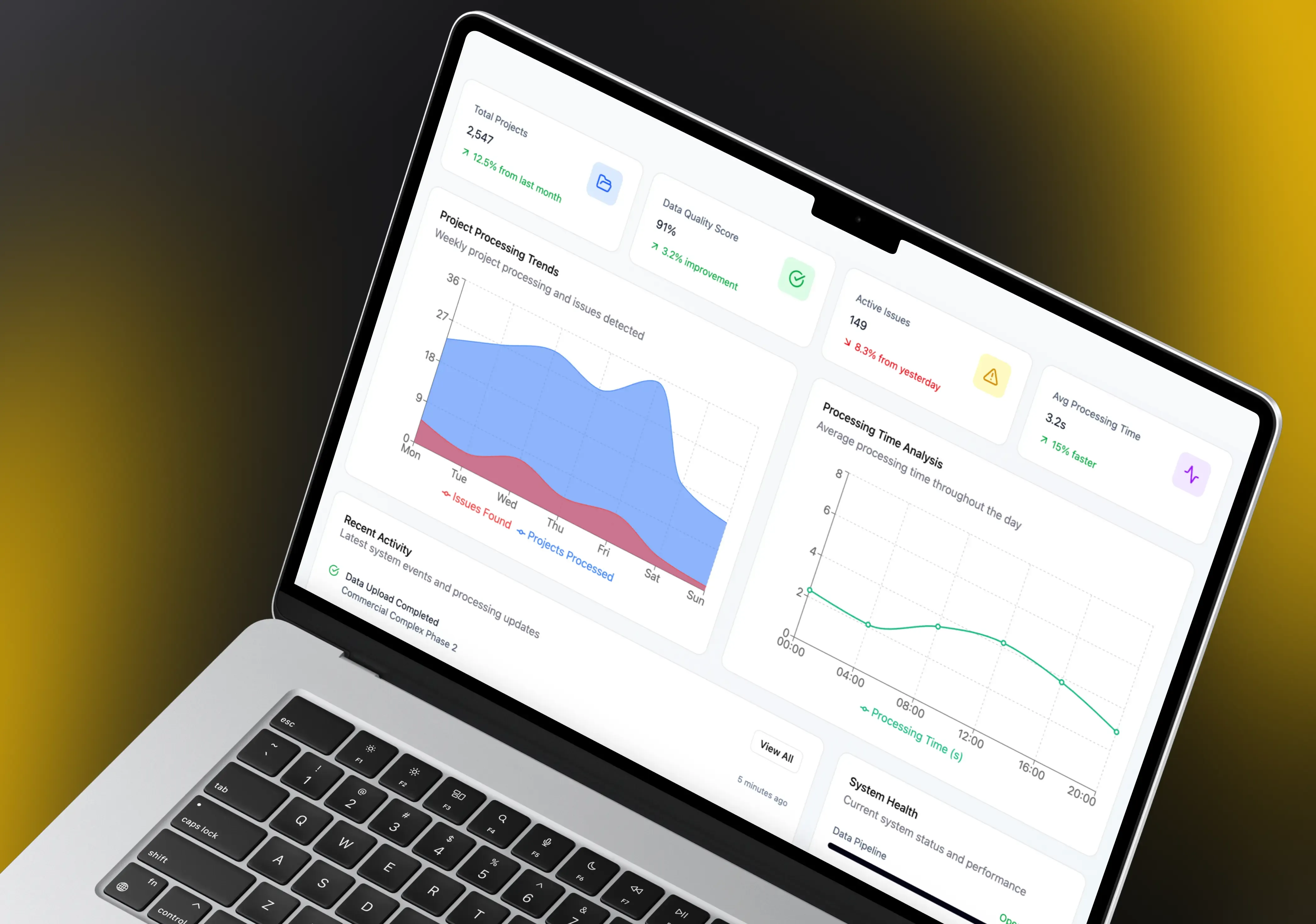
How to Automate Construction Project Data Processing to Mitigate Predictive Analytics Challenges

Construction
How to Create a Procore Alternative Software for a Construction Business

Construction
How to Deal With Weaknesses of Construction Financial Management Software?
Real Estate
How to Select the Right Construction Management Software for Your Business
Construction
Investing in the Right Construction Reporting Software: Features That Make a Difference
Construction
Is Voice Technology Worth the Investment for Construction Firms?
Construction
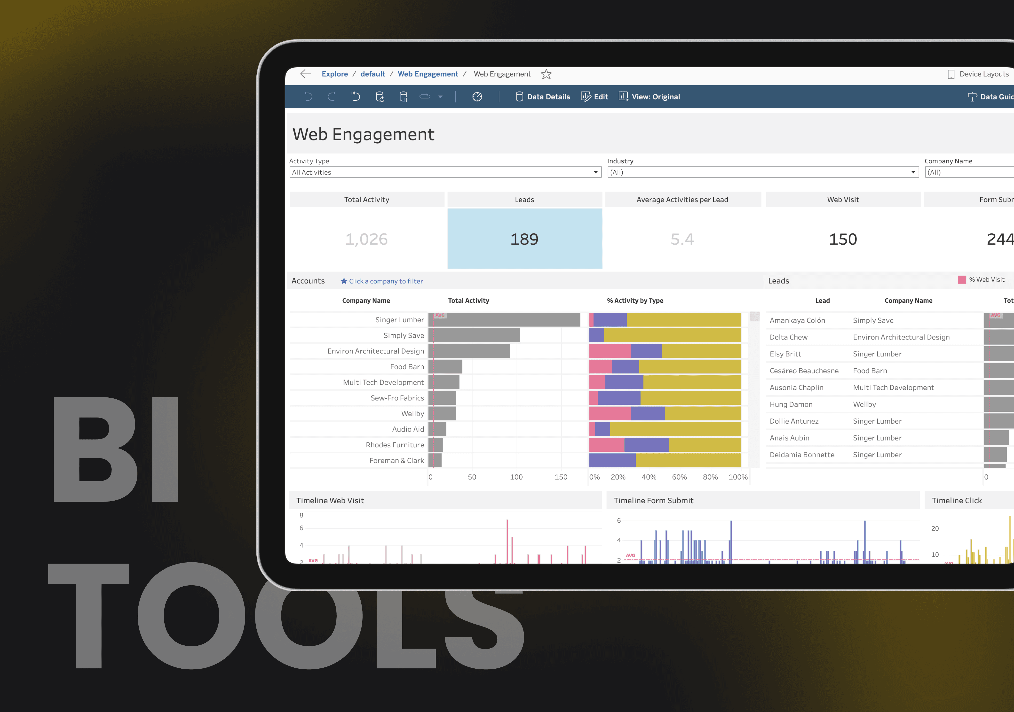
Overcoming Integration Challenges: Making Construction Data Work Together with BI Tools

Management Systems
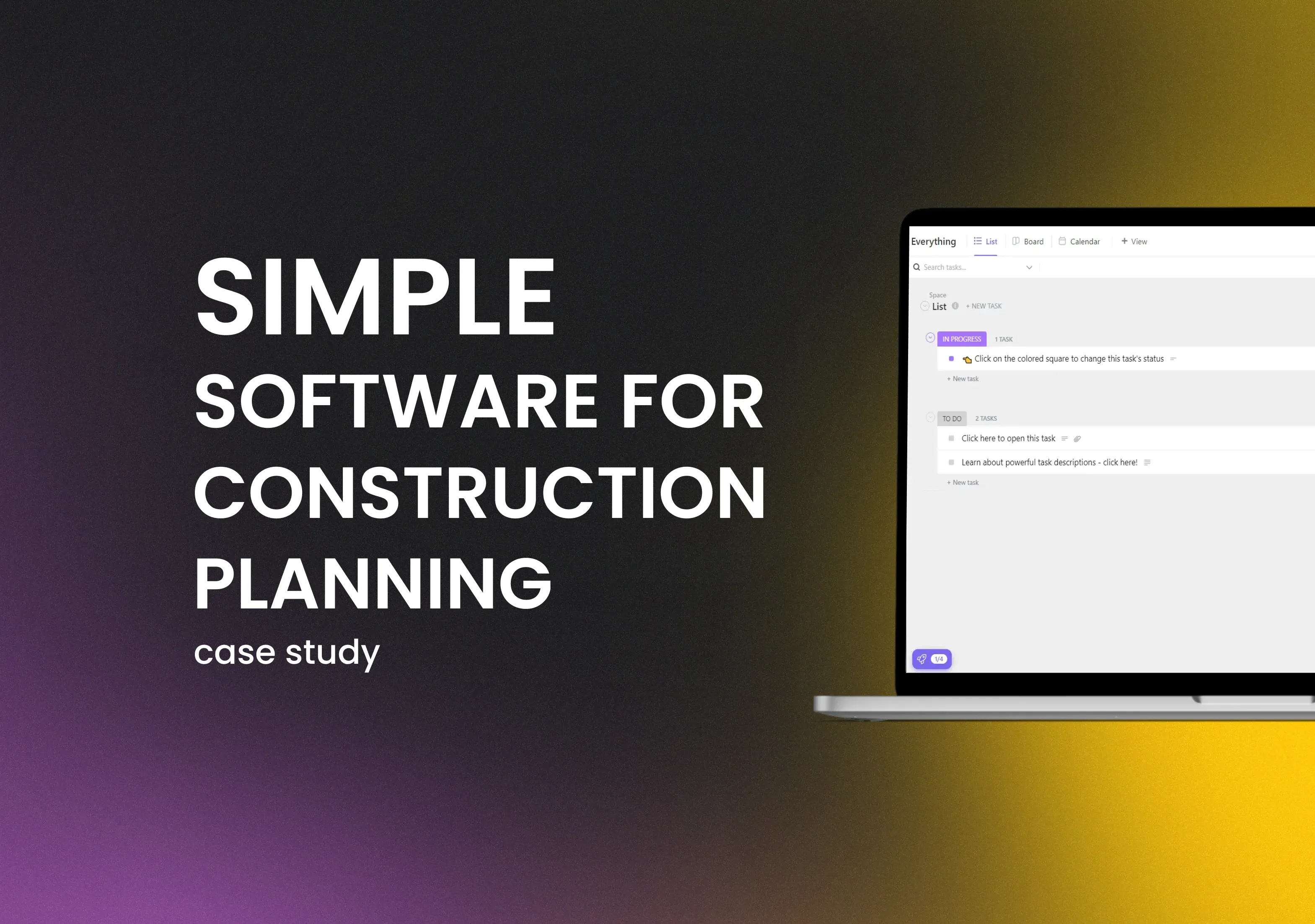
Simple Construction Software for Construction Planning: Case Study

Construction
The Complete Guide to AI Construction Document Review for Project Management
Construction
Why Your Construction Company Needs a Custom Client Portal (Not an Off-the-Shelf Solution)
Let’s talk!


This site uses cookies to improve your user experience. Read our Privacy Policy
Accept
Share this article