


By Bohdan Vasylkiv
- CEO & Co-Founder
Real-time Construction Site Mapping: Keeping Every Phase on Track
Real-time construction site mapping that gives you live progress views, reduces errors, and keeps every project phase on schedule from anywhere.
Construction projects are becoming more complex every year. Larger sites, tighter timelines, and higher client expectations have made traditional management approaches insufficient.
Teams can no longer rely solely on static plans, paper reports, or delayed progress updates to keep fast-moving construction phases aligned.
Today’s construction environments demand real-time clarity, not assumptions or outdated visuals.
Executives and stakeholders need tools that help them act quickly rather than react late, and real-time construction site mapping is one of the most impactful solutions available.
By visualizing every movement on-site, teams eliminate uncertainty and replace it with actionable intelligence from day one.
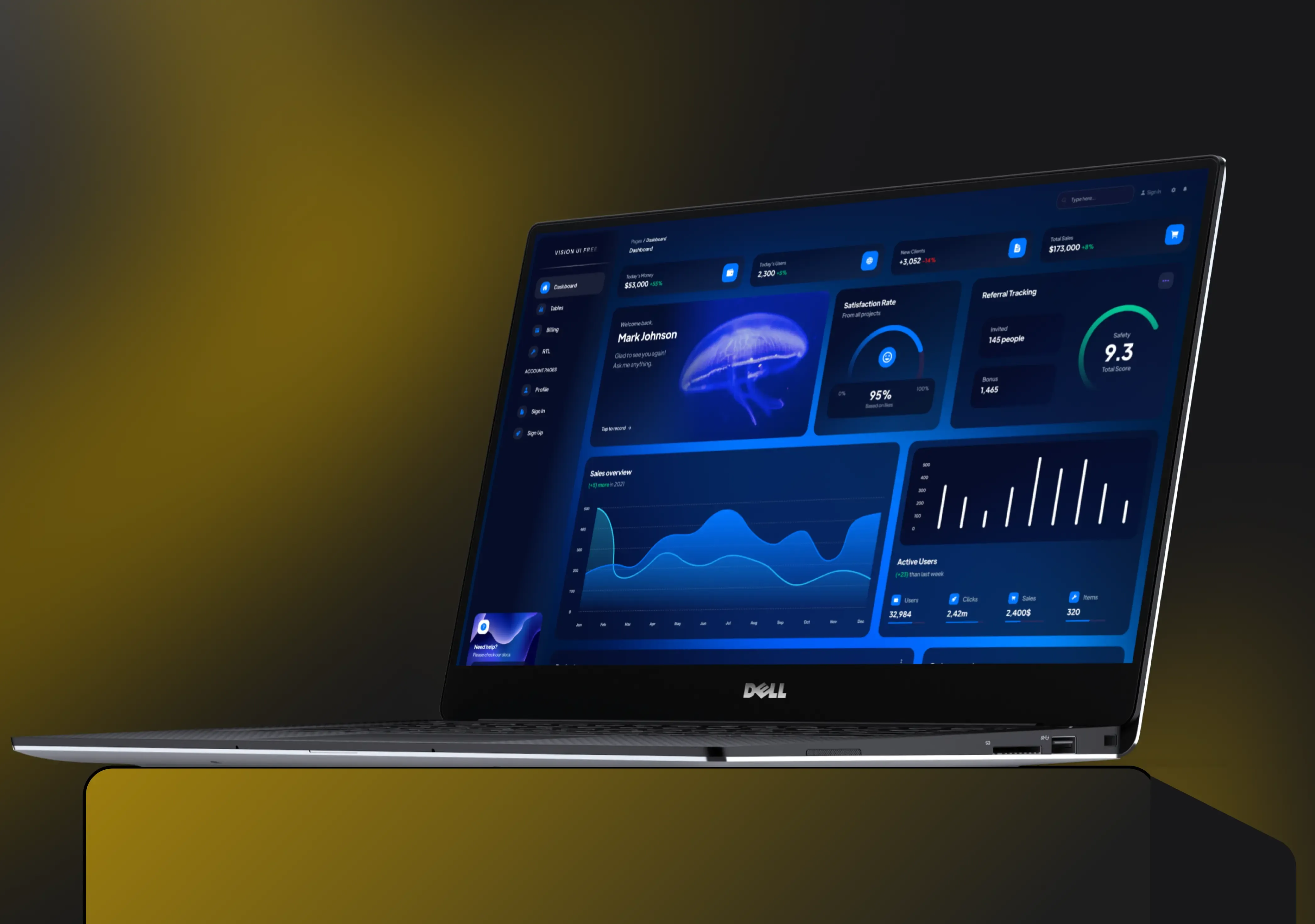
What Is Real-Time Construction Site Mapping?
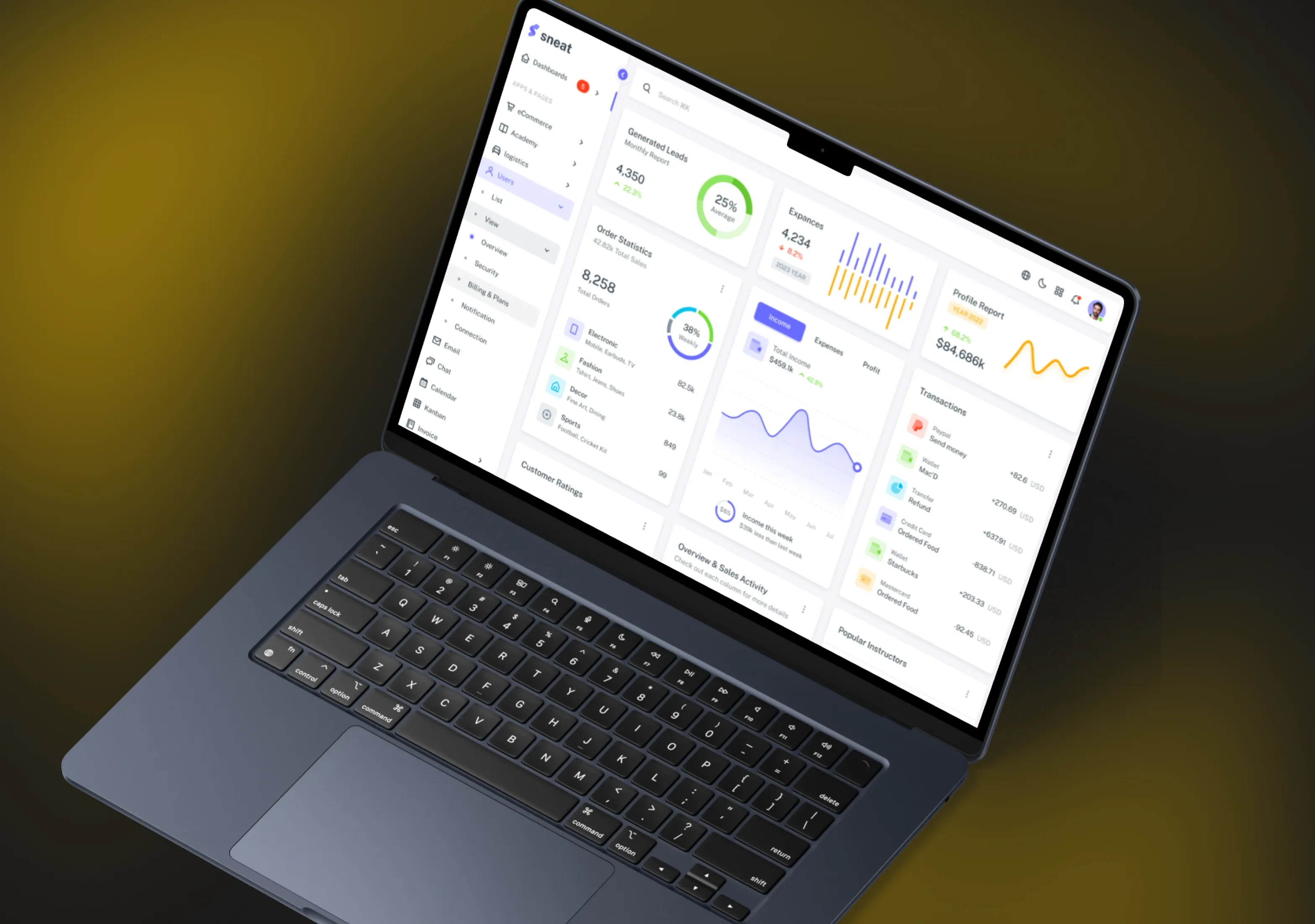
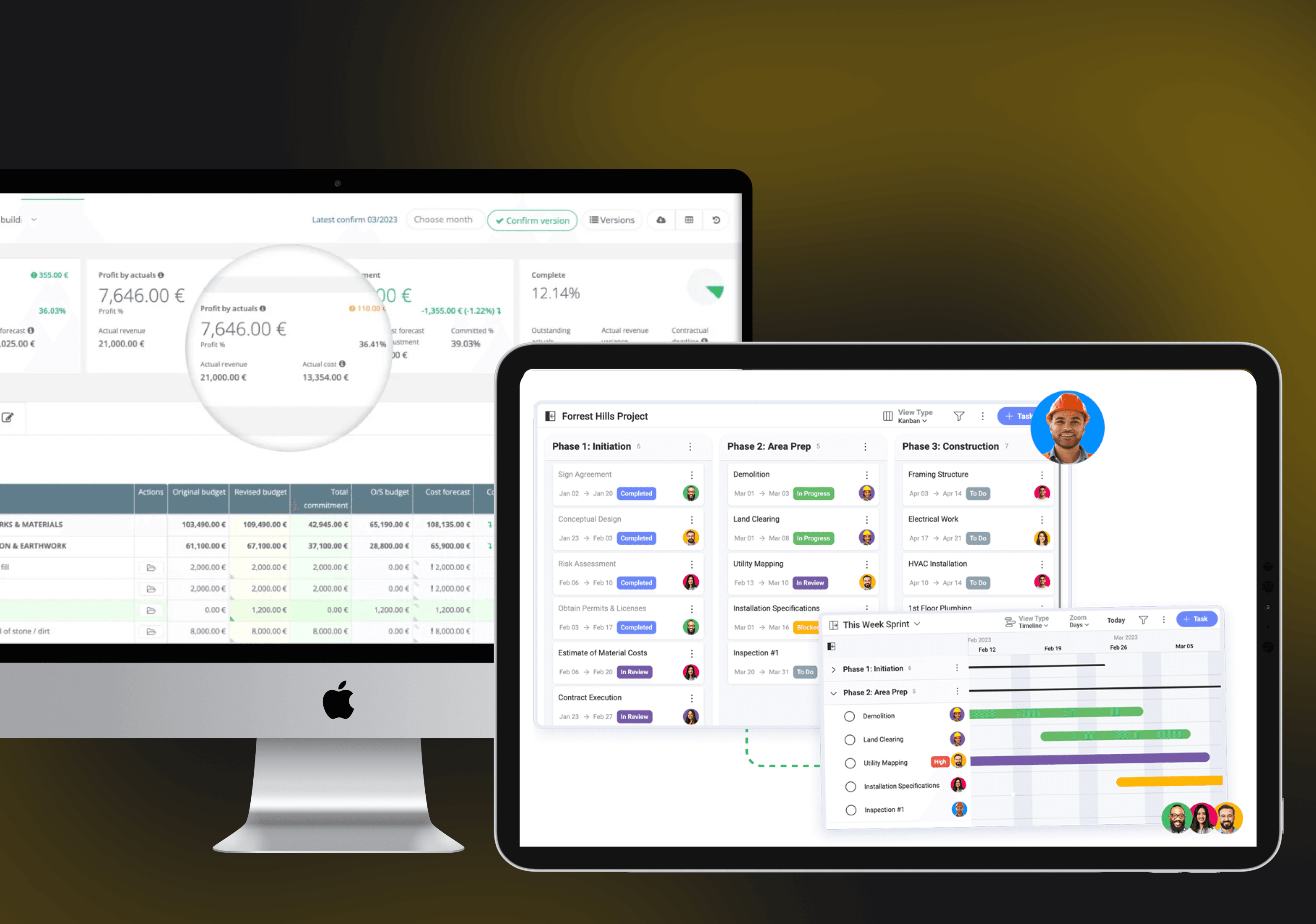
Construction site mapping is a software solution that provides construction workers with real-time insights, including essential site markers.
It is based on the process of capturing, analyzing, and visualizing site conditions as they change.
Traditional site plans are static and quickly outdated. On the flip side, real-time mapping delivers:
- Live spatial data
- Dynamic construction site maps
- Integrated visuals such as drone imagery and 3D models
- Progress overlays
- Automated alerts
Such IT solutions for construction industry can offer countless benefits and services.
For instance, it can also combine drones, GPS, LiDAR, IoT sensors, and dashboards to create a continuously updated picture of the entire project.
This allows teams to evaluate progress remotely, track deviations instantly, and keep all stakeholders informed through a single source of truth.
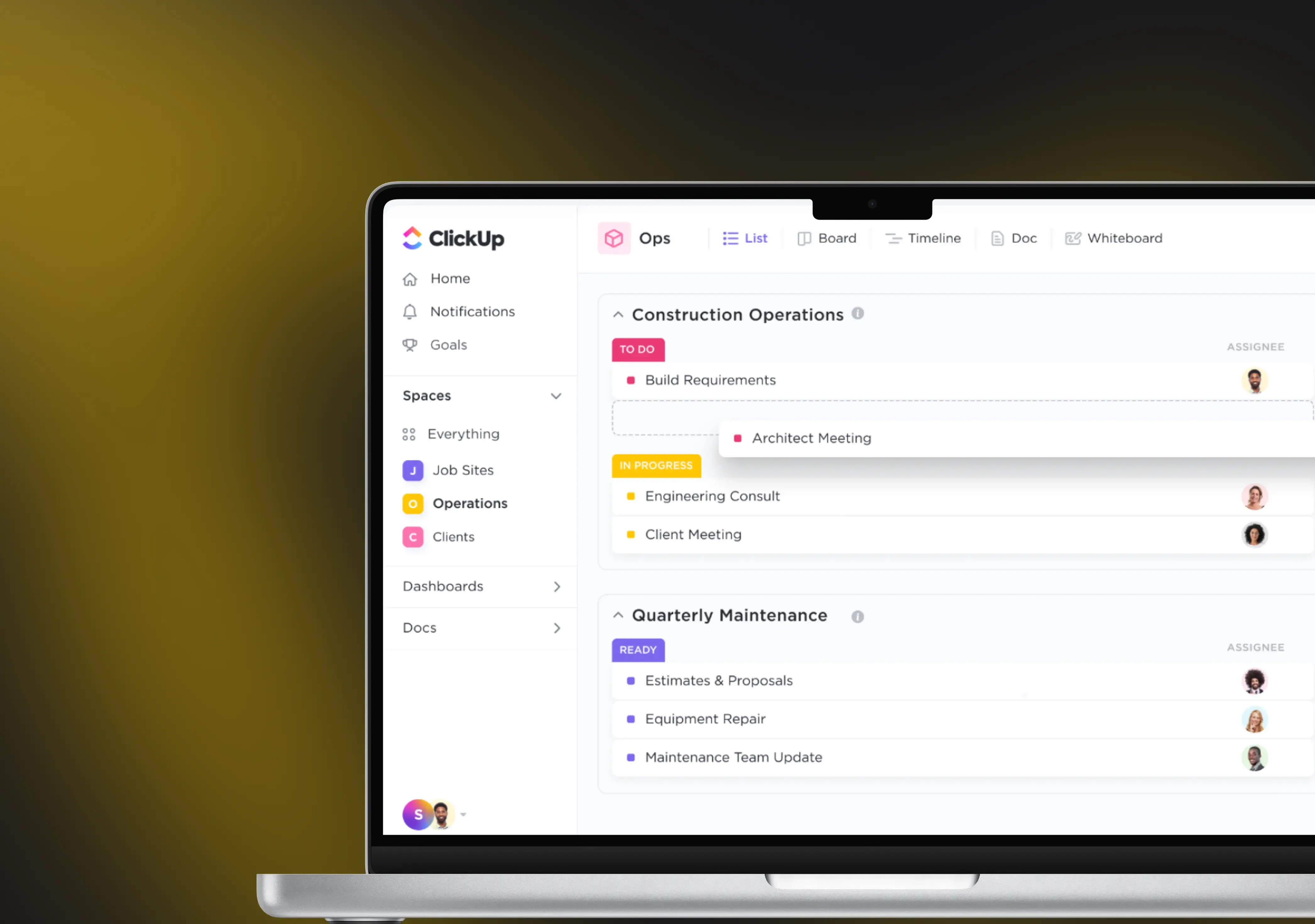
Site mapping can become a significant addition to your construction management systems and operations:
The system doesn’t just show what has happened. It shows what is happening right now and what may happen next, based on data trends.
Simply put, real-time mapping replaces guesswork with clarity.
It gives teams immediate confidence in every decision and eliminates the friction caused by missing or delayed information.
With live visibility, construction firms strengthen control over coordination, scheduling, and field execution.
Thanks to this, managers can optimize performance and cut expenses using the latest data.
Why Site Mapping Matters in Today’s Construction
The construction field has long struggled with costly inefficiencies:
- Projects experience delays.
- Companies exceed the original budget.
- Half of the rework is due to miscommunication.
These issues primarily originate from a lack of visibility, not other factors.
When teams operate with incomplete information, even minor inaccuracies can compound into major setbacks.
Small misalignments become expensive problems when they aren’t detected early, and daily field conditions change too rapidly for manual reporting to keep up.
Real-time construction site mapping solves these challenges by providing complete transparency.
Executives can immediately see whether work aligns with plans, identify bottlenecks, and course-correct with precision.
This creates a more predictable, controlled project environment where performance and productivity naturally improve.
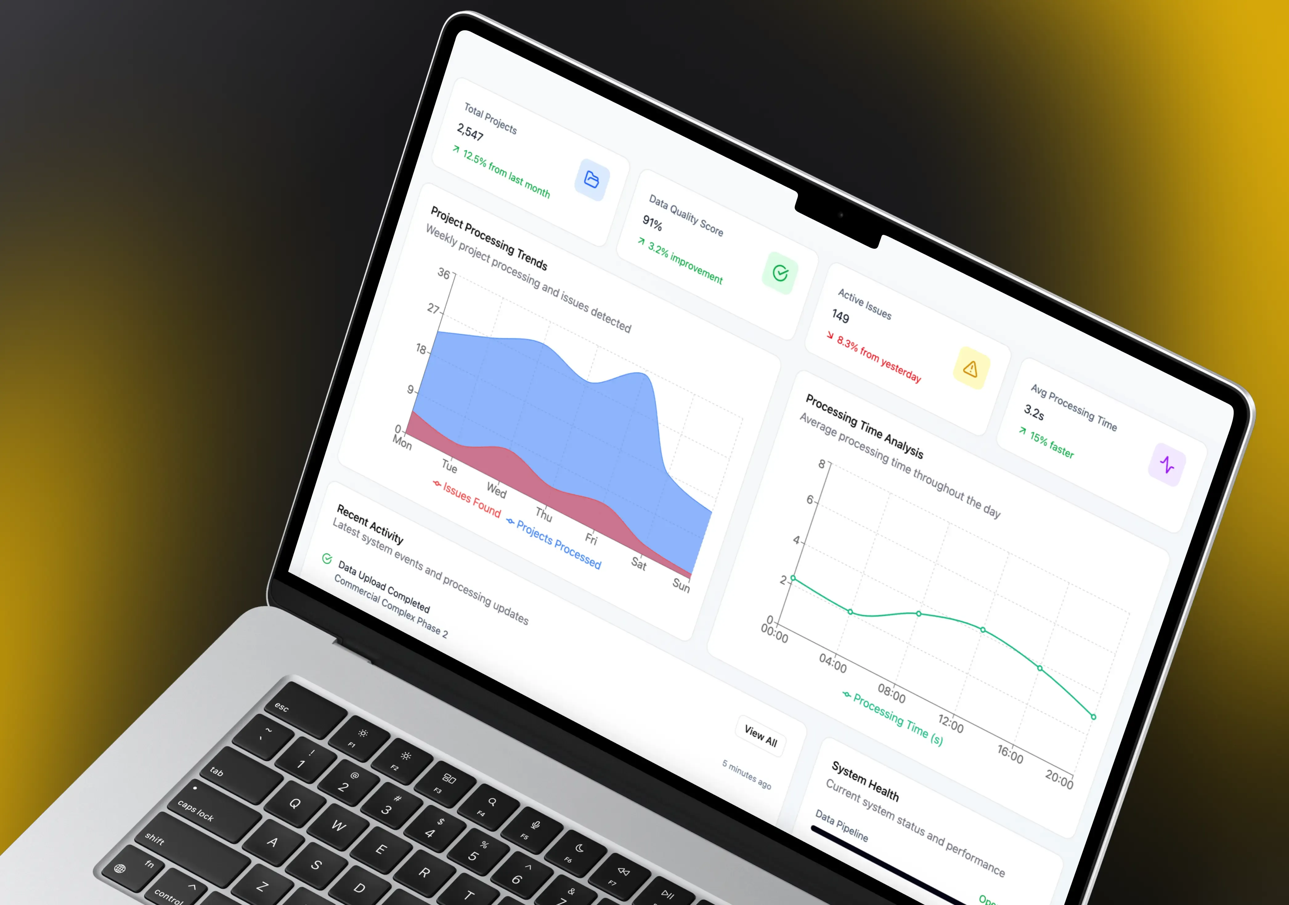
Key Benefits of Real-Time Construction Site Mapping
Real-time construction site mapping offers numerous benefits. Still, the core fields it affects are:
- Management
- Data sharing
- Communication
Let’s consider some more specific and detailed advantages of such integrations in construction management:
- Site operational awareness
- Better progress tracking & scheduling
- More efficient cost control
- Reduced rework and errors
- Increased transparency
- Improved site safety
- Faster decision-making
- Faster issue resolution
- Better documentation
1. Enhanced Site Operational Awareness
The core advantage of real-time site mapping for construction projects is operational awareness.
Managers can track updates linked to the map and monitor the latest employee activities.
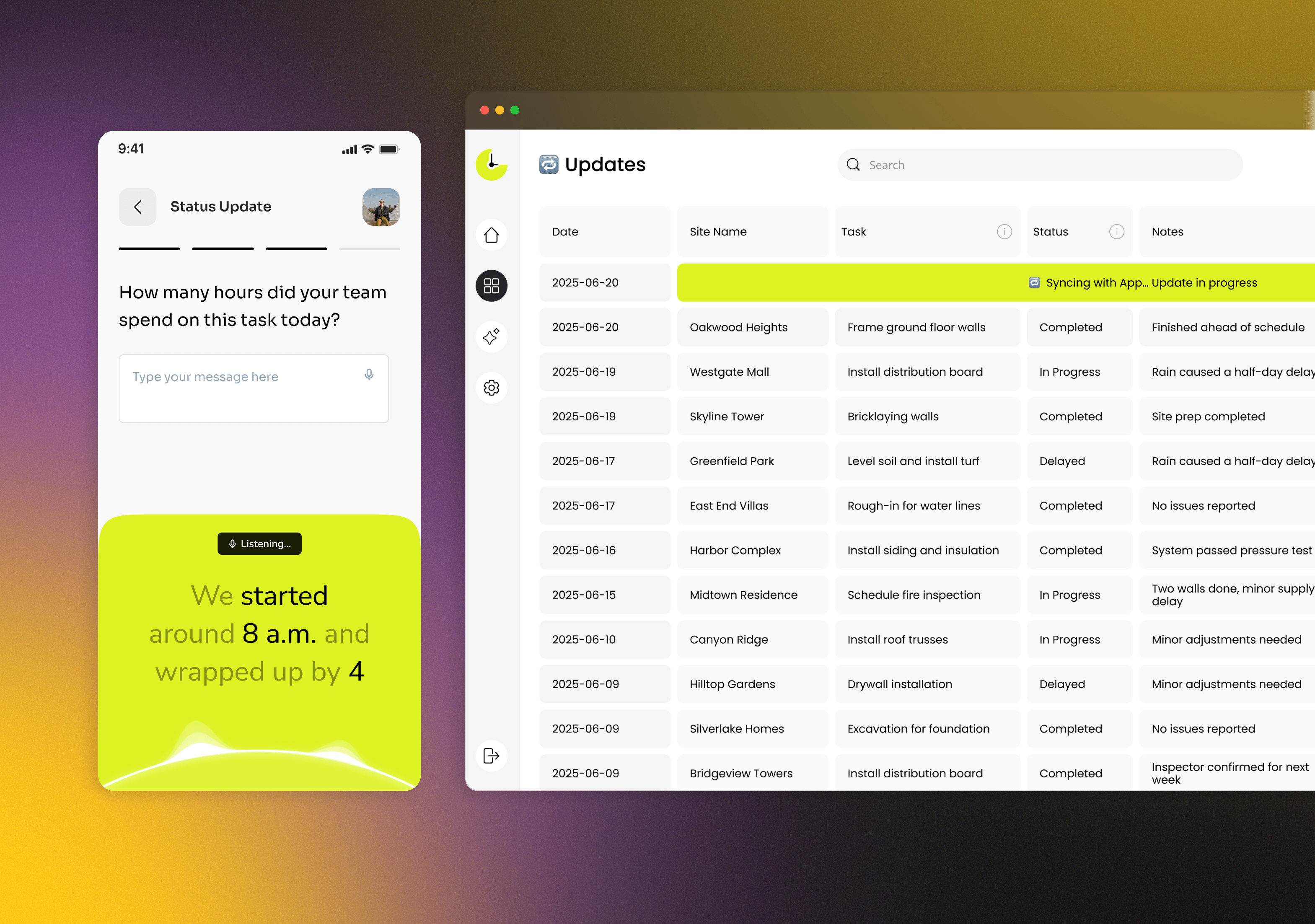
To fully leverage the potential of these software solutions, you need to integrate them with other management tools or systems.
Integration with management systems enables more detailed documentation, activity tracking, and essential updates.
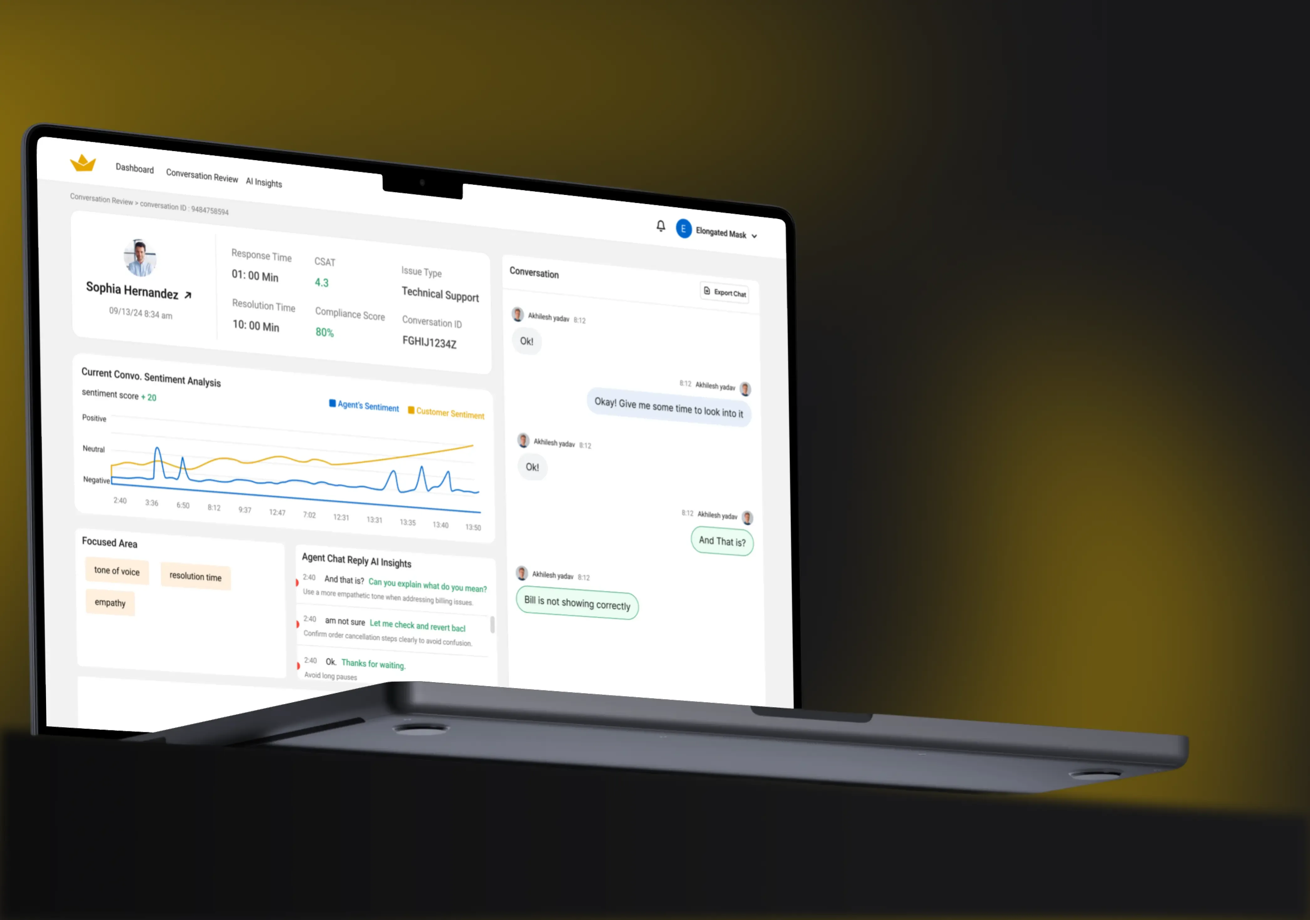
On top of that, you can implement innovative software, such as AI scheduling for construction sites.
Thanks to data sharing between real-time maps and virtual assistants, your managers can streamline operations such as time management and shift scheduling.
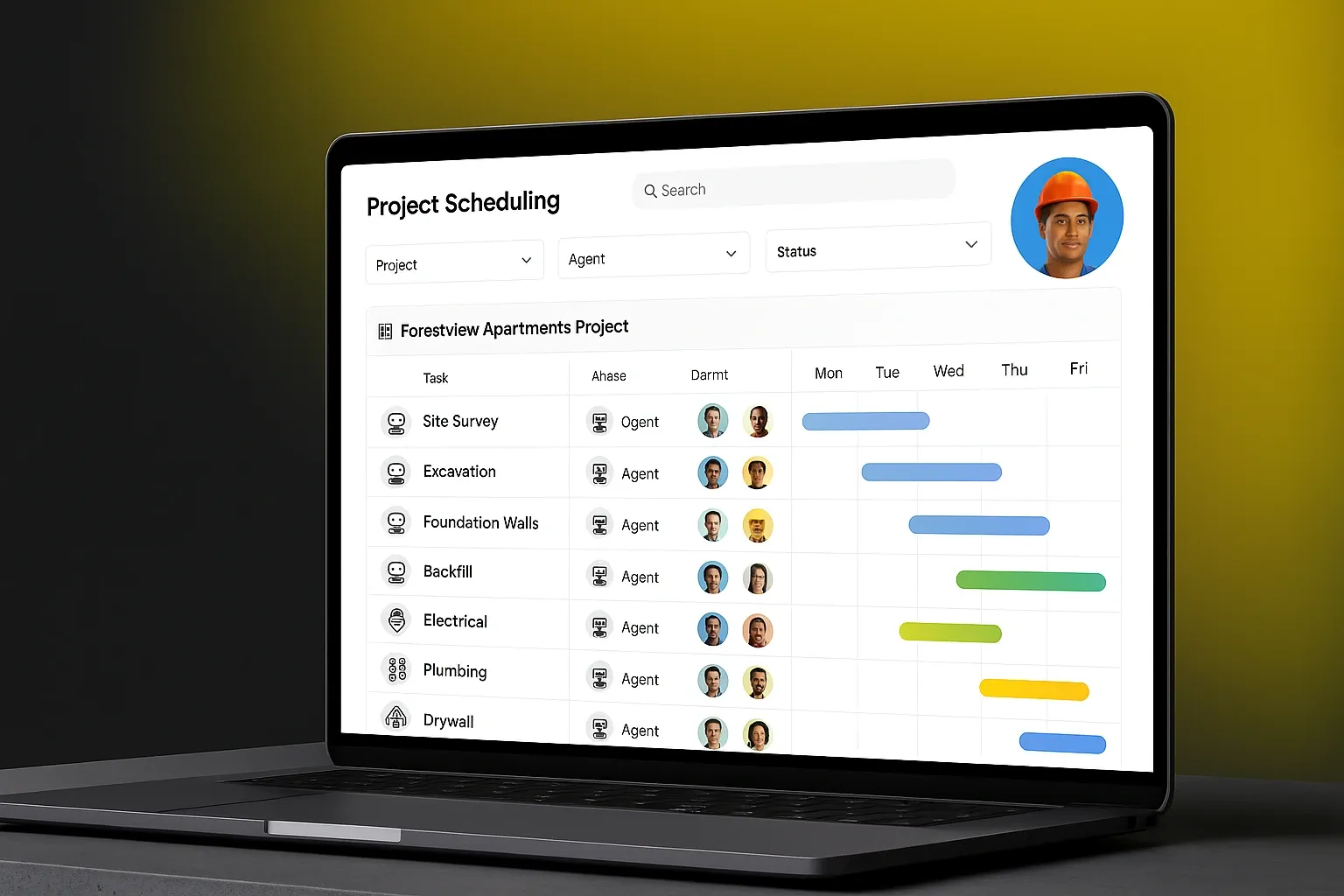
2. Better Progress Tracking and Scheduling
Teams see actual progress versus planned activities in real time.
This makes scheduling more dynamic and flexible, allowing site managers to reassign crews or shift priorities instantly.
As a result, timelines become more reliable and disruptions less frequent, something every stakeholder appreciates.
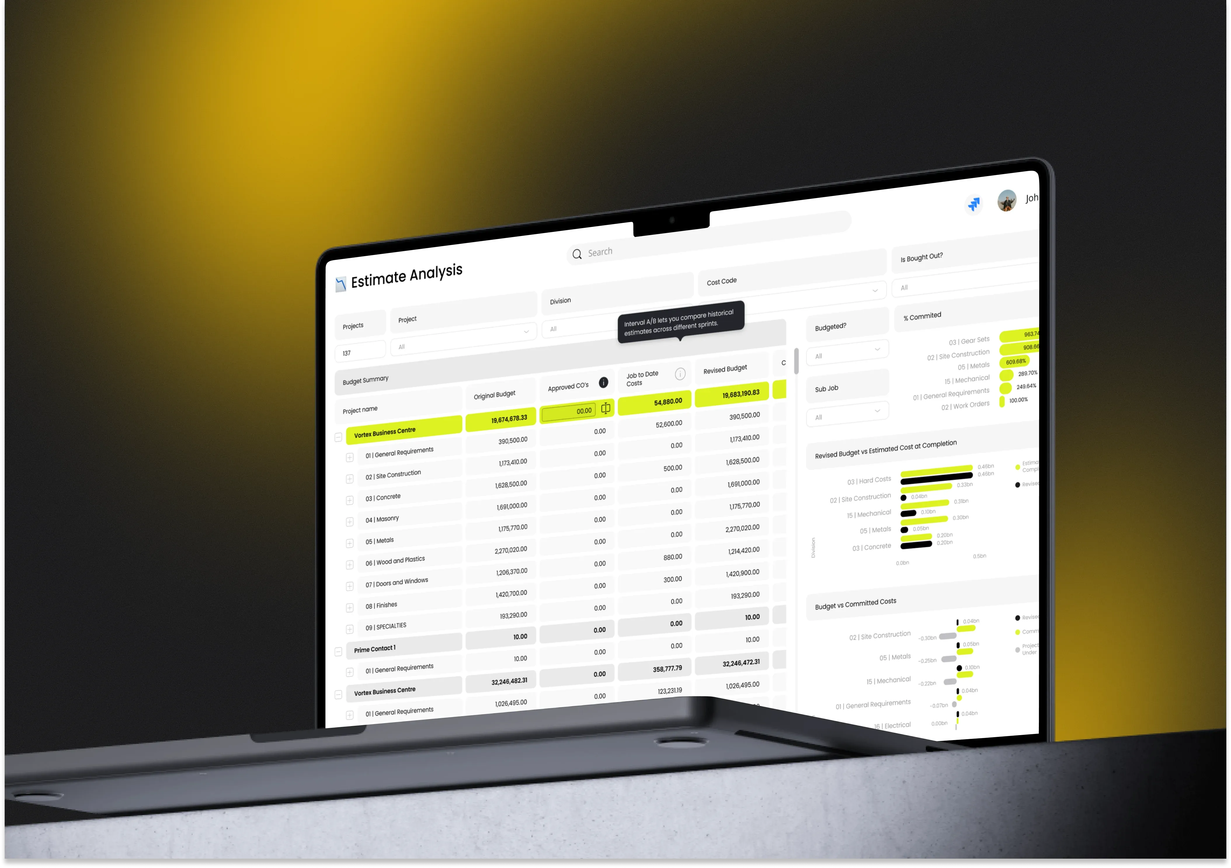
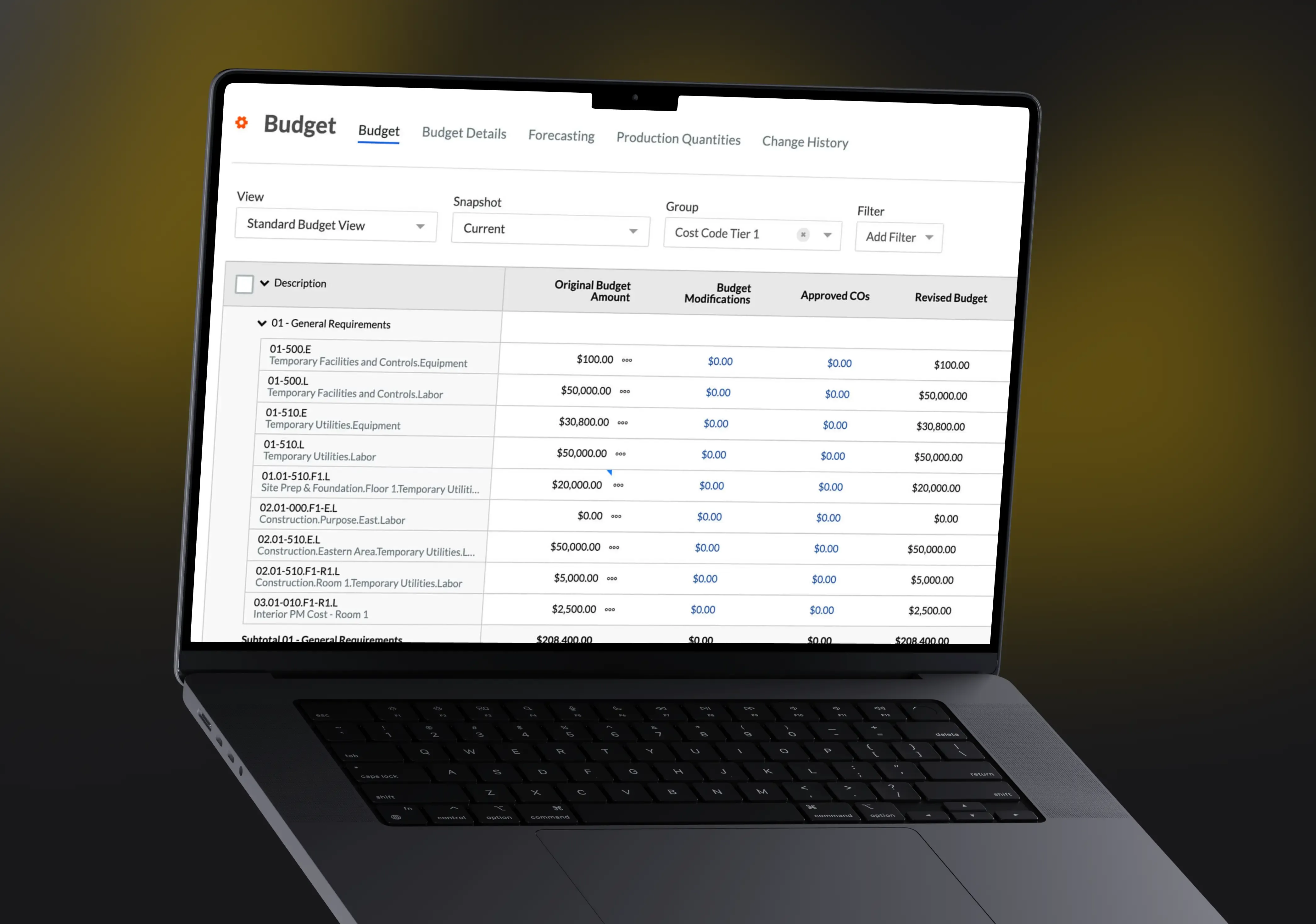
3. Stronger Cost Control
Live updates reduce rework and prevent material misallocation.
Executives can pinpoint where inefficiencies arise and address them before they drain budgets.
This proactive approach ensures that money is spent on progress, not on correcting preventable mistakes.
4. Reduced Rework and Fewer Errors
Mapping highlights layout issues or discrepancies between design and field conditions.
The sooner mistakes are caught, the cheaper they are to fix. This often helps save days or weeks of effort.
This level of accuracy also improves coordination between trades, minimizing conflict in overlapping areas.
5. Increased Stakeholder Transparency
Owners and investors can access live visuals from anywhere.
This builds trust and reduces the number of clarification calls, site visits, and progress disputes.
Everyone stays aligned because everyone sees the same real-time information.
6. Improved Site Safety
Mapping tools detect hazards and unsafe zones.
Supervisors can identify trends, such as recurring equipment conflicts or high-risk traffic routes. Therefore, they can resolve them quickly.
This leads to fewer incidents and a more controlled site environment.
7. Faster Decisions and Issue Resolution
Supervisors no longer need to wait for end-of-day reports.
With real-time visibility, decisions that once took hours or days can be made in minutes.
Once again, by implementing data sharing between real-time maps and other systems, managers can speed up decision-making and boost operational awareness.
This speed keeps teams productive and minimizes downtime across the site.
8. Higher Quality Documentation
Every phase generates precise digital records.
These records serve as reliable evidence in case of claims or disputes and streamline compliance.
They also become valuable historical data for future planning or facility management if connected to the activity logs or if on-map commenting is enabled.
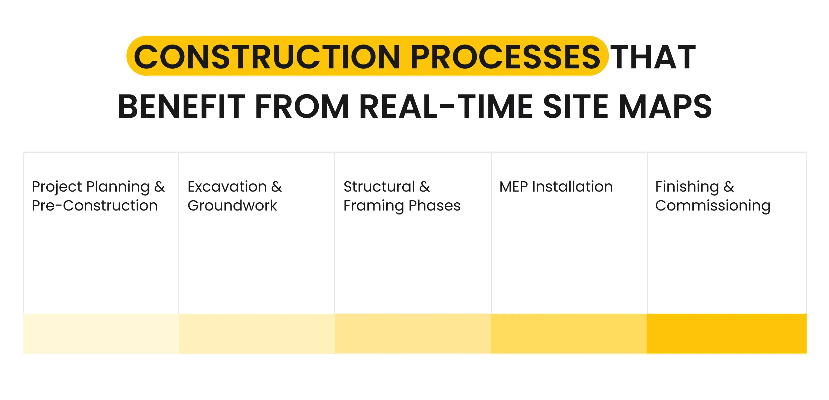
Real-Time Construction Site Mapping Through Each Phase
Real-time mapping isn’t just a single tool. It can support every project phase when integrated correctly.
 Click to expand
Let’s consider the core fields and operations directly impacted by real-time site mapping in construction.
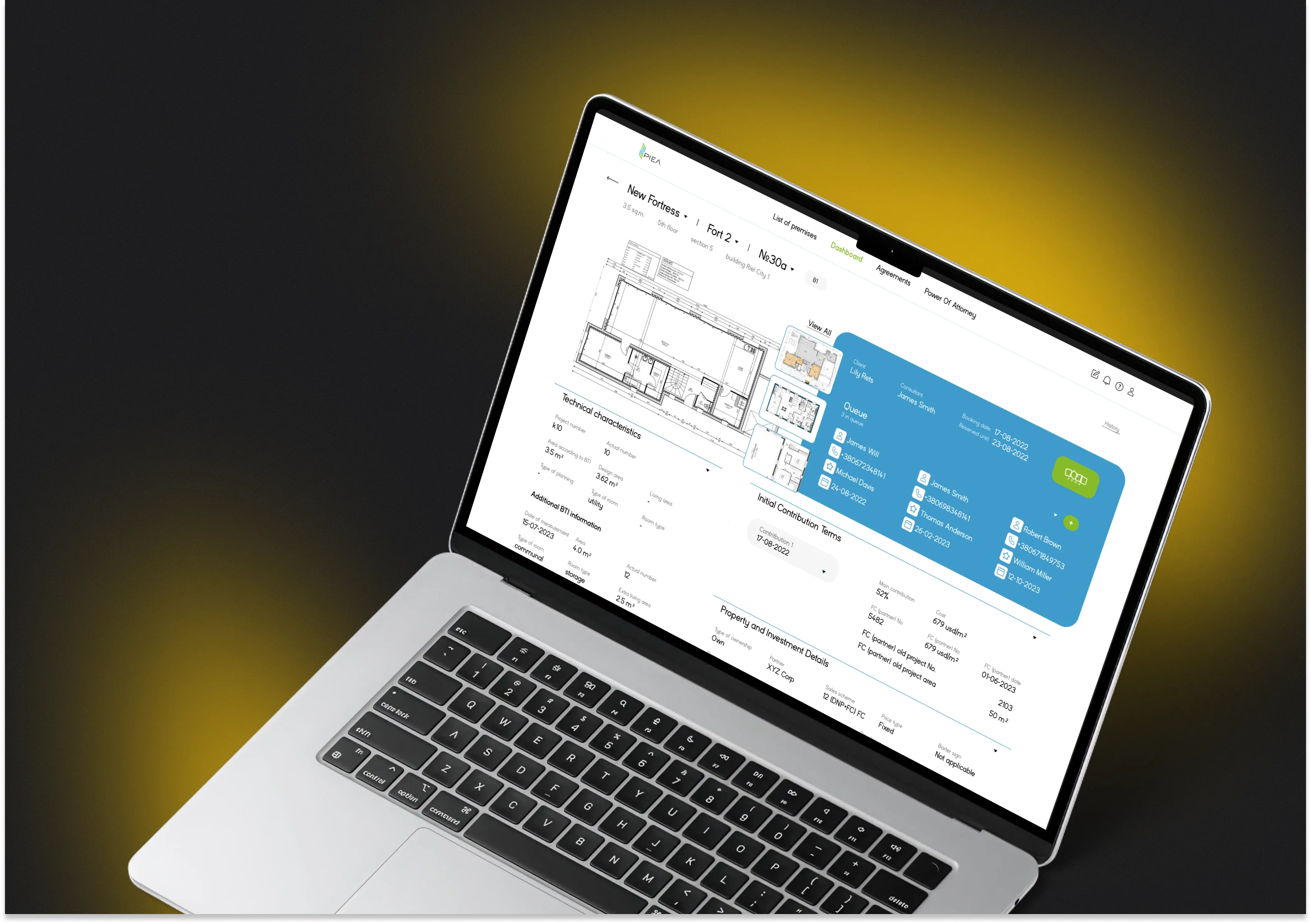
1. Project Planning and Pre-Construction
Live mapping assists with site analysis, topographical modeling, and utility location.
Planners gain more accurate estimates and can design logistics that match real terrain conditions.
This eliminates costly redesigns that often emerge during excavation or early groundwork.
Moreover, real-time mapping can support further analysis and decision-making. Such maps are an excellent solution for retrospective and defining pain points.
By analyzing maps with comments and reports, managers can identify weak spots and other issues and prevent them in future projects.
2. Excavation and Groundwork
Mapping can include depth, volume, soil conditions, and equipment movement.
These additional factors will be a significant advantage for your construction company, providing all employees with high-value data about the construction site.
It ensures that excavation is performed within safe limits and in accordance with the specification.
Crews can also track productivity and adjust equipment placement to streamline daily operations.
3. Structural & Framing Phases
Mapping helps verify foundation placement, concrete pours, and structural alignment.
Early detection of misalignment prevents costly rework later in the project.
Supervisors gain confidence knowing structural progress matches both design and safety standards.
4. MEP Installation
Real-time mapping supports routing verification and clash detection.
It significantly reduces the risk of MEP conflicts, one of the most common sources of late-stage rework.
Teams can also visualize how installations interact with structural components, ensuring smoother coordination.
5. Finishing & Commissioning
Mapping should include room-by-room completion and progress on the punch list.
Such functionality helps to ensure the completion of all, even the most minor, tasks. As a result, improving quality assurance.
Final-phase delays are often the most stressful, and real-time visuals help teams stay focused and organized.
This ensures smoother handovers and more predictable project closeouts.

Why Outsourced Development Helps Construction Teams Succeed
Most construction companies don’t have the internal development teams needed to build or integrate real-time mapping systems.
Outsourced partners bring both the technical expertise and industry understanding required for high-impact solutions.
This allows construction companies to focus on building rather than managing complex software development processes.
1. Custom Solutions That Fit Real Workflows
Every company and project works differently.
Incora’s team builds platforms tailored to the client’s exact operational needs, reducing training time and maximizing adoption.
This ensures the software enhances productivity rather than complicating it.
2. Cost-Effective Expertise
Hiring full-time developers is expensive.
Outsourcing provides access to an entire multidisciplinary team at a fraction of the cost.
Companies get long-term value without long-term payroll commitments.
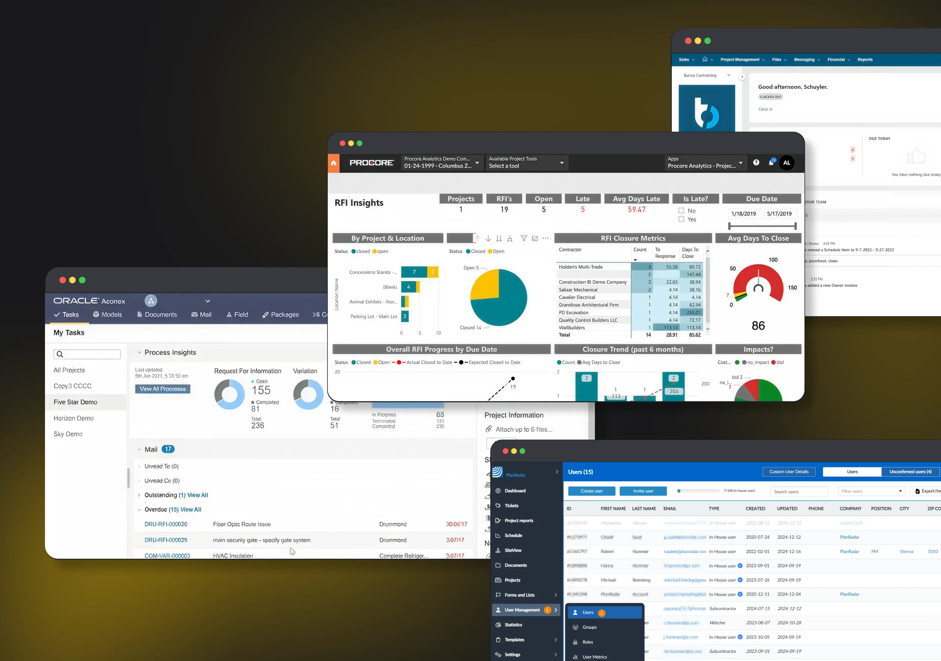
3. Seamless Integration
Real-time mapping tools integrate with BIM, ERP, and project management platforms.
This prevents data silos and eliminates duplicate entries, a significant source of onsite confusion.
Integrations also ensure that field and office teams work from the same unified operational environment.
4. Scalable Across Projects
Custom-built platforms can expand to new sites with minimal setup.
This gives executives consistency across regions and large portfolios.
Scalability also reduces onboarding time for new teams or subcontractors.
5. Continuous Support & Upgrades
Construction technology evolves quickly.
By outsourcing to experts, companies always receive the latest improvements, security updates, and automation enhancements.
This keeps systems modern rather than making them obsolete within a few years.

Reasons to Invest in Real-Time Construction Site Maps
Real-time construction site mapping is no longer optional. It is essential for modern construction companies that want to stay competitive.
Projects move too fast and involve too many stakeholders to rely on outdated, manual tracking methods.
With real-time mapping, teams gain complete visibility, faster decision-making, and greater control over timelines and budgets.
Paired with a trusted partner like Incora, companies can implement custom solutions that enhance efficiency across every phase.
Whether you're managing one jobsite or ten, real-time mapping creates the level of clarity construction teams have needed for decades.
Now is the perfect time to explore these tools and elevate your project outcomes.
FAQ
What is real-time construction site mapping?
Real-time construction site mapping involves using advanced technologies such as drones, LiDAR scanners, 3D cameras, and AI-powered software to generate live, interactive digital representations of construction sites. These maps capture site conditions instantly, allowing teams to overlay planned designs with actual progress for immediate visual comparisons. This approach creates digital twins that update continuously, enabling precise tracking of structural advancements, material stockpiles, equipment locations, and environmental changes throughout every project phase.
How does real-time mapping differ from traditional site surveys?
Unlike traditional manual surveys or periodic drone flights that produce static reports days later, real-time mapping delivers continuous data streams with centimeter-level accuracy via RTK GPS and automated processing. It eliminates guesswork by integrating geo-tagged photos, videos, and point clouds into centralized dashboards accessible remotely. Traditional methods often lead to outdated information and reactive decisions, while real-time systems provide proactive insights to prevent deviations early.
What technologies are used in real-time site mapping?
Key technologies include drone photogrammetry for aerial overviews, ground-based LiDAR for detailed 3D scans, RTK GPS for precise positioning, BIM integration for design overlays, and AI algorithms for automated progress detection and anomaly identification. Mobile apps facilitate field data capture with timestamped images and notes, while cloud platforms ensure seamless syncing across devices. Video analytics and satellite imagery add layers for security and large-scale monitoring.
What are the main benefits for project management?
Real-time mapping keeps projects on track by enabling early detection of delays, accurate volume calculations for materials, and data-driven forecasting of timelines and costs. It reduces site visits by 50-70% through remote inspections, minimizes errors via as-built vs. as-planned comparisons, and enhances stakeholder communication with visual reports. Overall, it cuts costs, boosts safety by spotting hazards proactively, and improves compliance through verifiable records.
How does it improve construction safety?
Mapping identifies hazards like unstable structures, unauthorized access, or equipment proximity issues in real time through AI-driven alerts and heatmaps of high-risk zones. Vibration and settlement monitoring integrates with maps to protect nearby buildings, while geo-fencing prevents workers from entering danger areas. Remote walkthroughs reduce physical inspections in hazardous spots, lowering accident rates and ensuring regulatory compliance.
Can real-time mapping integrate with existing software?
Yes, it seamlessly connects with BIM models, ERP systems, scheduling tools like Primavera, and project management platforms such as Procore or Autodesk Construction Cloud. Data flows bidirectionally, auto-updating schedules with progress metrics and flagging variances. APIs enable custom integrations, making it scalable for enterprise workflows without disrupting current operations.
What is the accuracy level of these mapping systems?
Most systems achieve 1-3 cm horizontal and 2-5 cm vertical accuracy using RTK-enabled drones and scanners, sufficient for structural verification and quantity takeoffs. AI processing refines point clouds to sub-millimeter precision in controlled conditions. Factors like weather or site obstructions can affect results, but regular calibrations maintain reliability across phases.
How often should mapping data be captured?
Captures should align with milestones, such as weekly for active phases or daily for critical stages like foundations or high-rise pours, ensuring data freshness without overload. Automated drones or fixed cameras enable continuous monitoring, with AI prioritizing alerts for urgent reviews. Frequency scales with project size, balancing detail with efficiency.
Is training required for teams to use this technology?
Basic training takes 1-2 days for field users on apps and drones, with advanced sessions for managers on analytics dashboards. Intuitive interfaces with mobile-first designs minimize the curve, often including tutorials and support. Vendors provide onboarding, certifications, and ROI calculators to justify investment.
What are the costs and ROI of implementing real-time mapping?
Initial setup ranges from $5,000-$50,000 for hardware and software, with subscriptions at $500-$5,000 monthly based on site size. ROI materializes in 3-6 months via 10-20% time savings, reduced rework, and fewer delays, often yielding 5-10x returns through better resource allocation. Pay-per-gigapixel models lower entry barriers for smaller projects.


YOU MAY ALSO LIKE

Construction
AI Compliance Agent for Construction: Automating HSE and Regulatory Compliance

Construction
AI Shift Scheduling for Construction: Is This the Future of HR and Payroll?
Management Systems
Construction Project Management Software for Small Business: Complete Guide
Construction
From 10 to 2 Hours: How Conversational AI Agents Transform Construction Report Generation
Construction
How AI Negotiation Agents Improve Construction Procurement [And Why Do You Need It]
Construction,
Real Estate
How Construction Workflow Management Software Helps to Reduce Costs and Boost Efficiency?
Construction
How Integrated BOQ Software Bridges the Gap Between Construction Departments

Construction
How to Automate Construction Project Data Processing to Mitigate Predictive Analytics Challenges
Construction
How to Build a Custom Software for Hard and Soft Construction Budget Control

Construction
How to Create a Procore Alternative Software for a Construction Business

Construction
How to Deal With Weaknesses of Construction Financial Management Software?
Real Estate
How to Select the Right Construction Management Software for Your Business
Construction
Investing in the Right Construction Reporting Software: Features That Make a Difference
Construction
Is Voice Technology Worth the Investment for Construction Firms?
Construction
Overcoming Integration Challenges: Making Construction Data Work Together with BI Tools
Management Systems
Simple Construction Software for Construction Planning: Case Study
Construction
The Complete Guide to AI Construction Document Review for Project Management
Construction
Why Your Construction Company Needs a Custom Client Portal (Not an Off-the-Shelf Solution)
Get in Touch
Got no clue where to start? Why don’t we discuss your idea?

Just pick a time. No forms.


This site uses cookies to improve your user experience. Read our Privacy Policy
Accept